State directory
US Route 41 by State
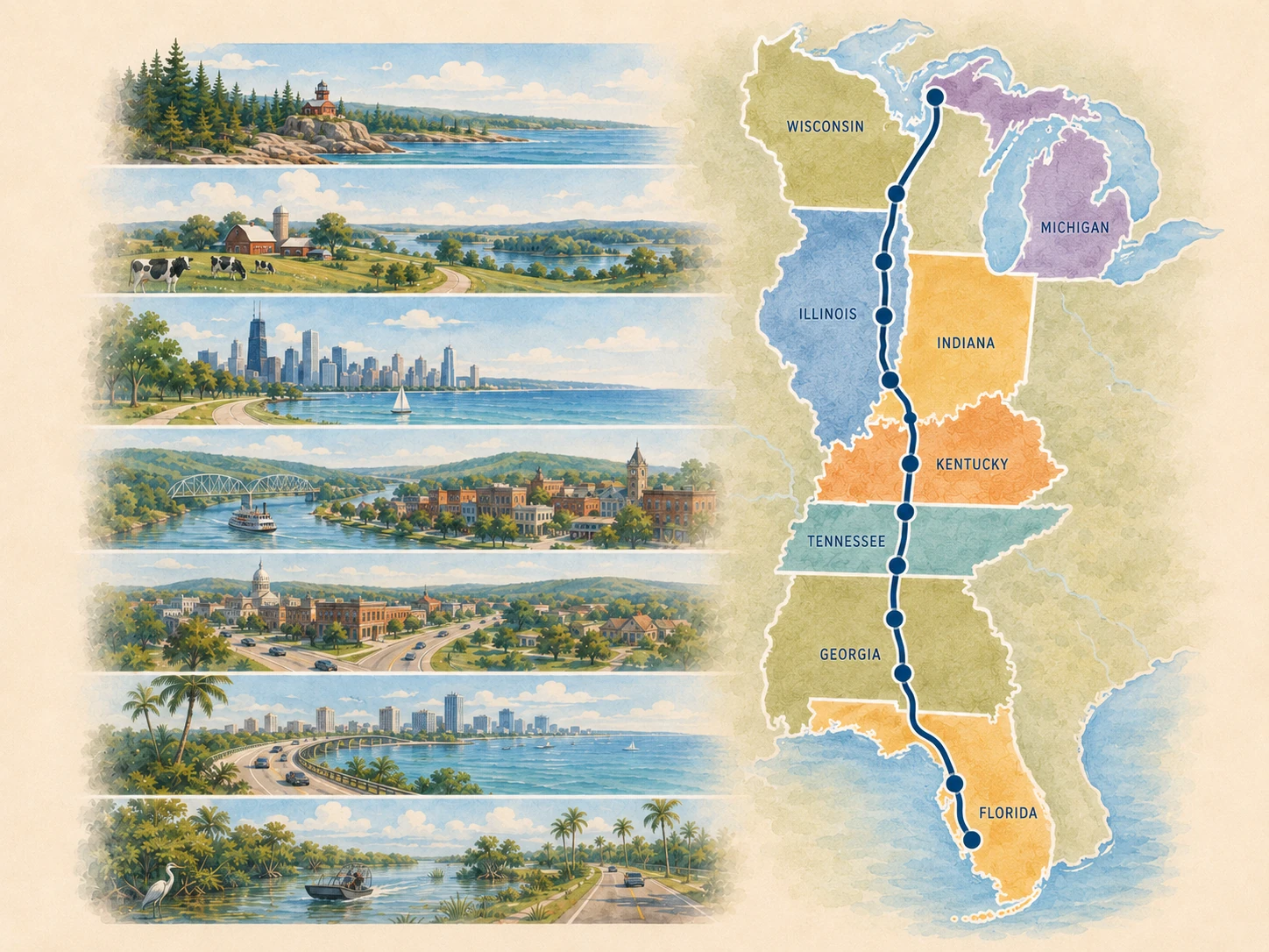
Use this eight-state view when you need the broad route behavior before choosing a specific road chapter, stop, or trip.
The deeper state layer shows major transitions, reset strategy, landscape and history themes, and the branch or alignment warnings that matter to route planning. Use it to compare the eight state chapters before narrowing the drive to a segment or trip.
Choose the planning depth
Use a state to orient; use a segment to drive it.
State chapters explain the broad route job. The 10 driving segments turn that job into entry decisions, stop sequences, resets, and exit decisions. Use the route overview when you need the complete Miami-to-Copper-Harbor sequence back in view.
Eight states and a century of route evolution
Today’s Route 41 journey crosses eight states from Miami to Copper Harbor. The designation’s original 1926 corridor broadly began in Naples, and Miami joined US 41 later. See the centennial route story, then use the state panels to plan the modern drive.
State-by-state route flow
Follow the journey south to north. Each panel separates stops on the current mainline from alternate, support, or detour places so the route order stays clear.
State 1 of 8 · Florida · 18 place guides
Florida
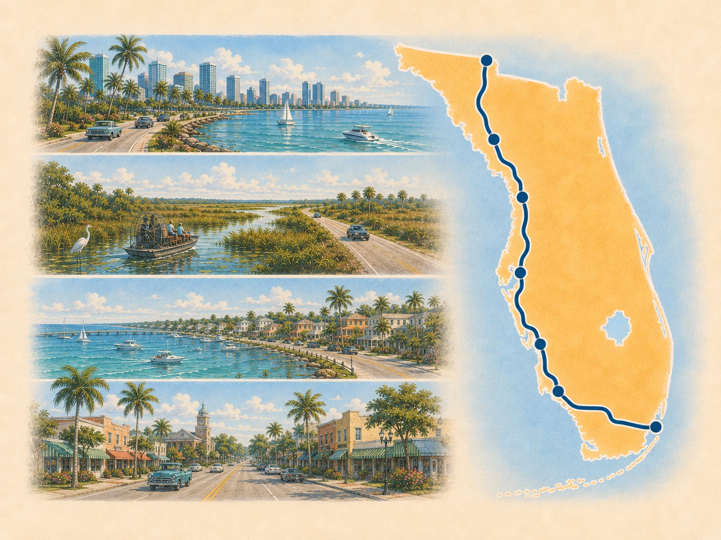
Role in the whole route: Southern terminus, Everglades crossing, Gulf Coast city sequence, and the longest state chapter.
US 41 begins in Miami, crosses the Tamiami Trail and Big Cypress, then becomes a long Gulf Coast and inland-west-central Florida corridor before the Georgia border.
Major transitions
Miami urban start to Tamiami Trail → Big Cypress crossing to Naples → Gulf Coast towns to Tampa Bay → Tampa Bay to inland springs country → Lake City and Jasper to the Georgia border
Planning decisions
- Choose whether the Tamiami crossing is a through-drive or a stop-rich nature section.
- Use Naples, Fort Myers, Sarasota, Tampa, or Lake City as major resets rather than treating every Gulf Coast town as equal.
- Separate US 41 mainline travel from downtown, beach, barrier-island, and waterfront detours.
- Check current weather, flooding, construction, park access, and seasonal facility conditions close to travel.
Best reset posture
Many choices; prioritize Naples, Fort Myers, Sarasota, Tampa, and Lake City according to trip phase.
Landscape and history
Tamiami Trail engineering and Everglades context · Gulf Coast settlement and road-town growth · river and harbor crossings · springs country and inland north Florida
Places on the current mainline
Miami · Big Cypress National Preserve · Naples · Bonita Springs · Estero · Fort Myers · Punta Gorda · North Port · Venice · Osprey · Sarasota · Bradenton · Palmetto · Tampa · Brooksville · Inverness · High Springs · Lake City
Print this state: Take the broad route role, transitions, resets, and checks offline in the Florida Route 41 State Planner.
Open the 5-page state plannerNext: Georgia
State 2 of 8 · Georgia · 8 place guides
Georgia
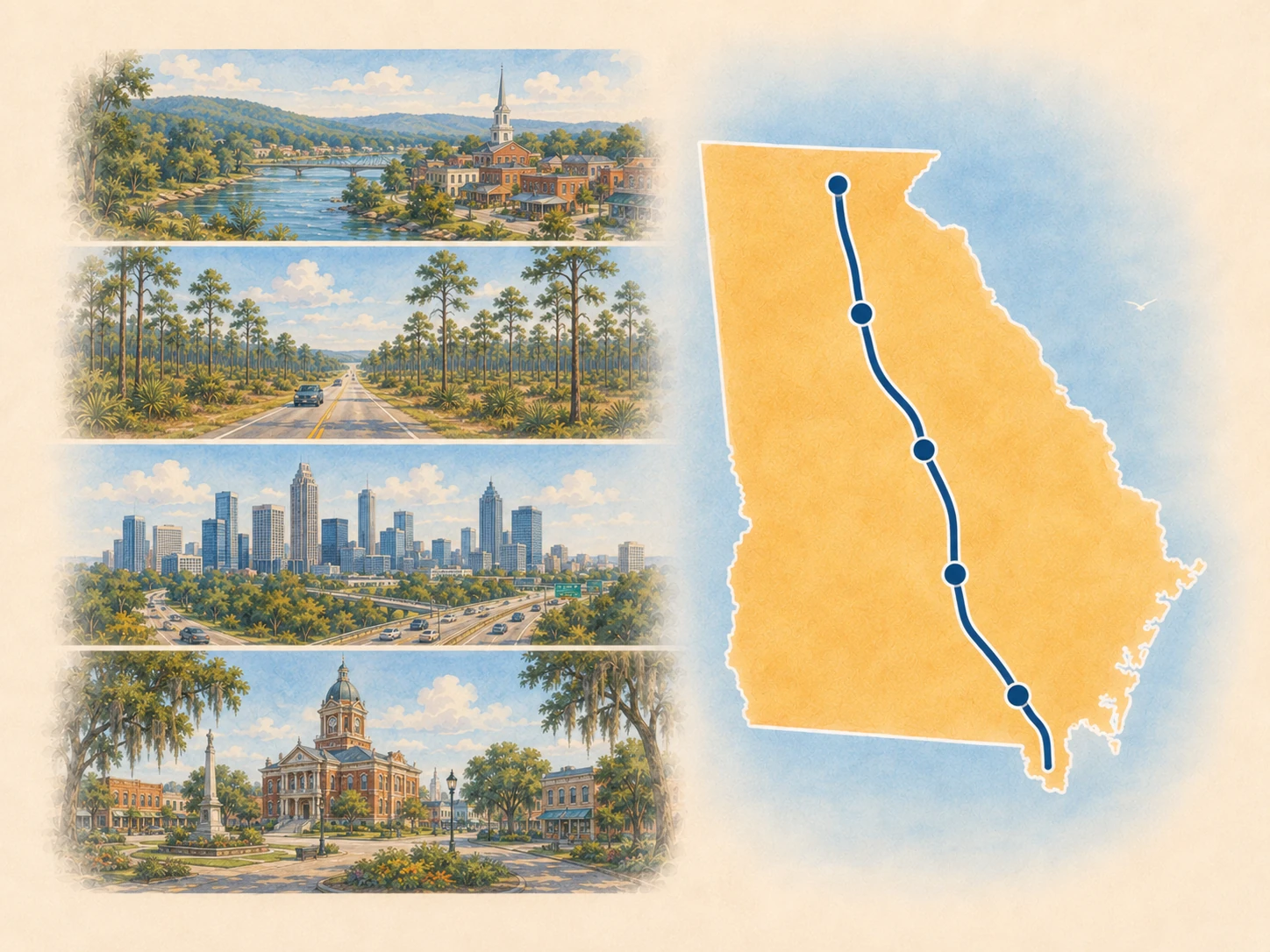
Role in the whole route: Agricultural corridor, Middle Georgia city sequence, Atlanta metropolitan hinge, and north-Georgia handoff.
US 41 runs from Valdosta through agricultural South Georgia, Middle Georgia, metro Atlanta, and northwest Georgia toward Chattanooga.
Major transitions
Florida border to Valdosta → South Georgia agriculture to Tifton and Cordele → Perry and Warner Robins to Macon → Forsyth and Griffin to metro Atlanta → Marietta and Kennesaw to Cartersville and Dalton
Planning decisions
- Use Valdosta, Macon, Atlanta, and Dalton as the main planning anchors.
- Keep US 41 distinct from parallel I-75 and from destination streets reached after leaving the corridor.
- Treat smaller towns as pacing, orientation, and service support unless the traveler has a specific destination.
Best reset posture
Valdosta, Macon, and Atlanta are the strongest overnight choices; Dalton is a useful northern reset.
Landscape and history
South Georgia agriculture · rail and courthouse towns · Middle Georgia music and military context · Atlanta growth along older highway corridors · north Georgia industrial and ridge-and-valley landscape
Places on the current mainline
Valdosta · Tifton · Warner Robins · Macon · Forsyth · Atlanta · Kennesaw
Alternate, support, or detour places
Print this state: Take the broad route role, transitions, resets, and checks offline in the Georgia Route 41 State Planner.
Open the 5-page state plannerNext: Tennessee
State 3 of 8 · Tennessee · 8 place guides
Tennessee
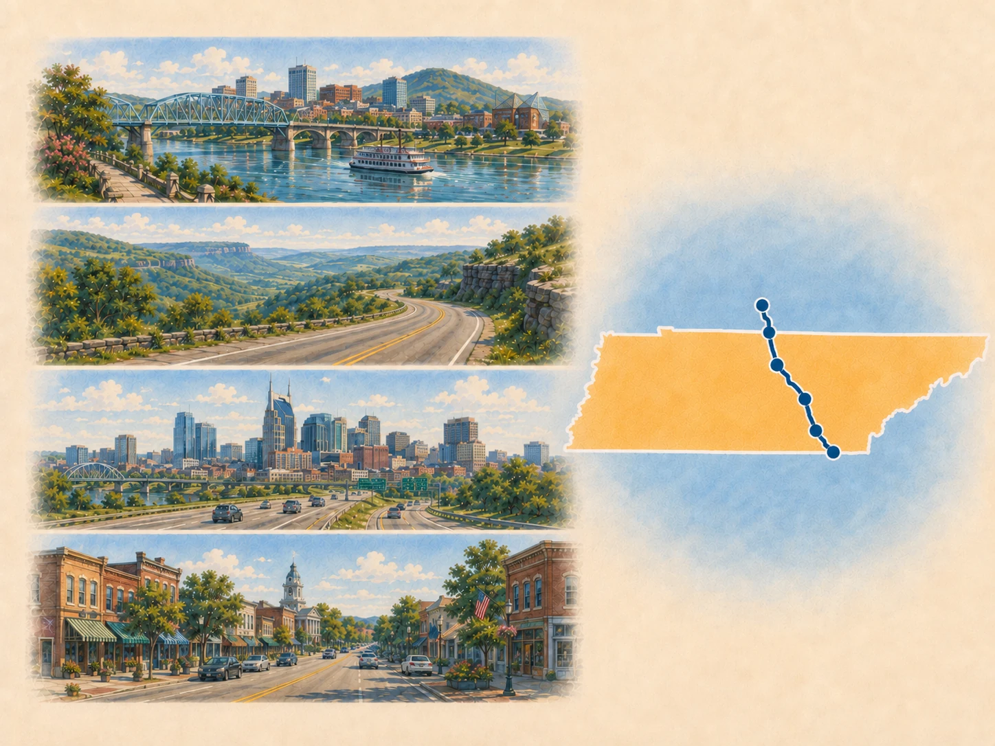
Role in the whole route: Tennessee River gateway, mountain and plateau transition, capital-city hinge, and the route's most important branch-identity chapter.
US 41 crosses Chattanooga, climbs toward Monteagle, then follows the current mainline through Manchester, Murfreesboro, Nashville, and Springfield while US 41A remains a separate branch system.
Major transitions
Chattanooga river city to Monteagle climb → US 41 and US 41A junction context → Plateau to Middle Tennessee → Murfreesboro to Nashville → Springfield to western Kentucky
Planning decisions
- Decide deliberately between current US 41 and US 41A branch destinations.
- Use Chattanooga and Nashville as the primary anchors, with Monteagle as the mountain-orientation hinge.
- Keep branch towns useful without routing the mainline through them.
Best reset posture
Chattanooga and Nashville are primary overnight anchors; Murfreesboro and Monteagle can support narrower plans.
Landscape and history
Tennessee River and rail geography · Cumberland Plateau and mountain crossing · US 41A branch history · Middle Tennessee city and music corridor
Places on the current mainline
Chattanooga · Monteagle · Murfreesboro · Nashville
Alternate, support, or detour places
Sewanee · Shelbyville · Tullahoma · Winchester
Print this state: Take the broad route role, transitions, resets, and checks offline in the Tennessee Route 41 State Planner.
Open the 5-page state plannerNext: Kentucky
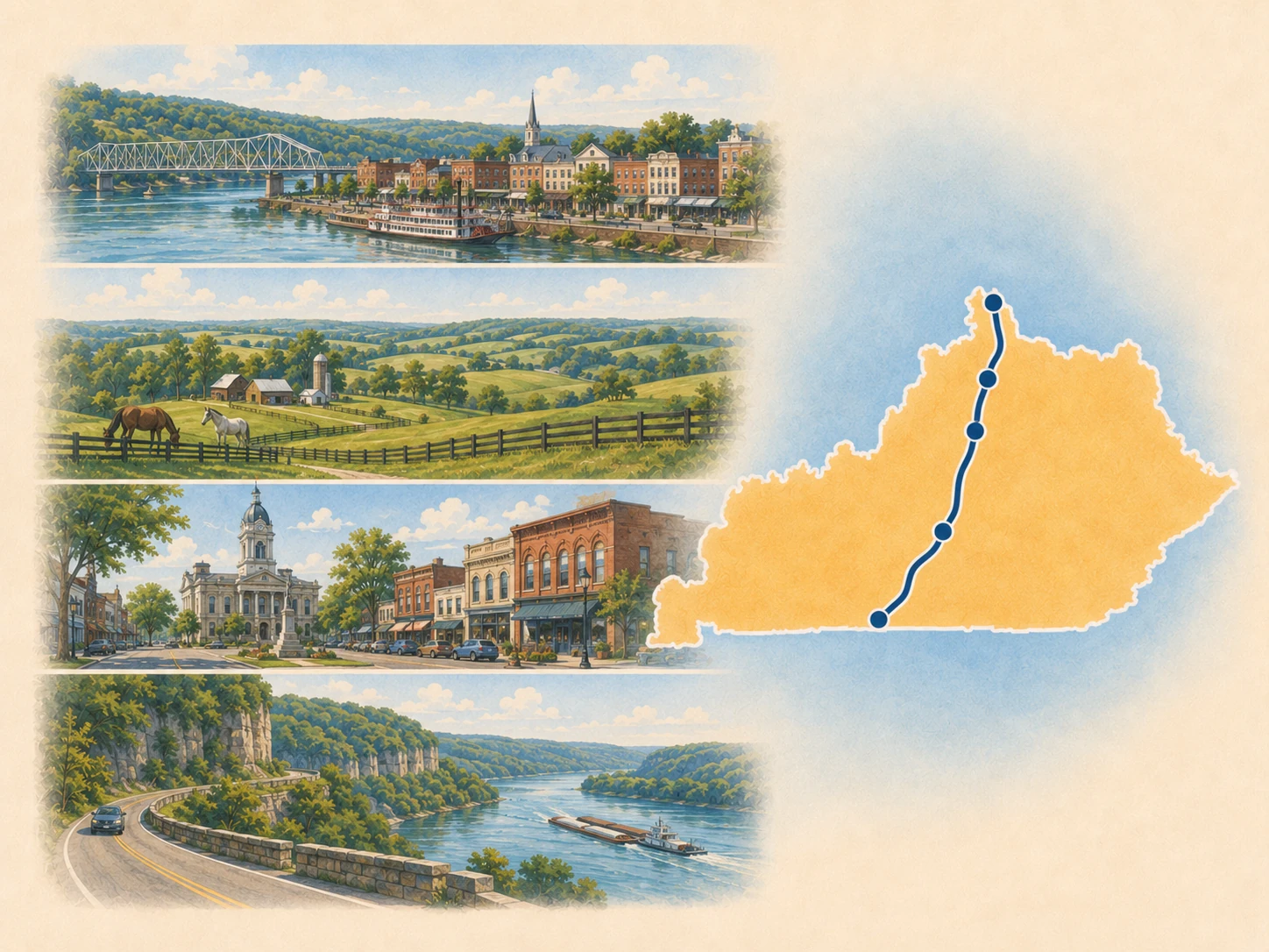
State 4 of 8 · Kentucky · 5 place guides
Kentucky
Role in the whole route: Compact western-Kentucky chapter and Ohio River approach.
US 41 enters western Kentucky through Hopkinsville and Madisonville, then reaches Henderson and the Ohio River crossing.
Major transitions
Tennessee border to Hopkinsville → Hopkinsville to Madisonville → Henderson and the Ohio River crossing
Planning decisions
- Use Hopkinsville as the southern anchor and Henderson as the river-crossing hinge.
- Treat Madisonville and smaller corridor communities as pacing and service support.
- Use Earlington, Mortons Gap, and Robards as optional local stops without making them required points in the state sequence.
Best reset posture
Hopkinsville and Henderson are the strongest overnight/reset choices.
Landscape and history
Western Kentucky road towns · coalfield and rail context · Ohio River trade and crossing history
Places on the current mainline
Alternate, support, or detour places
Earlington · Mortons Gap · Robards
Print this state: Take the broad route role, transitions, resets, and checks offline in the Kentucky Route 41 State Planner.
Open the 5-page state plannerNext: Indiana
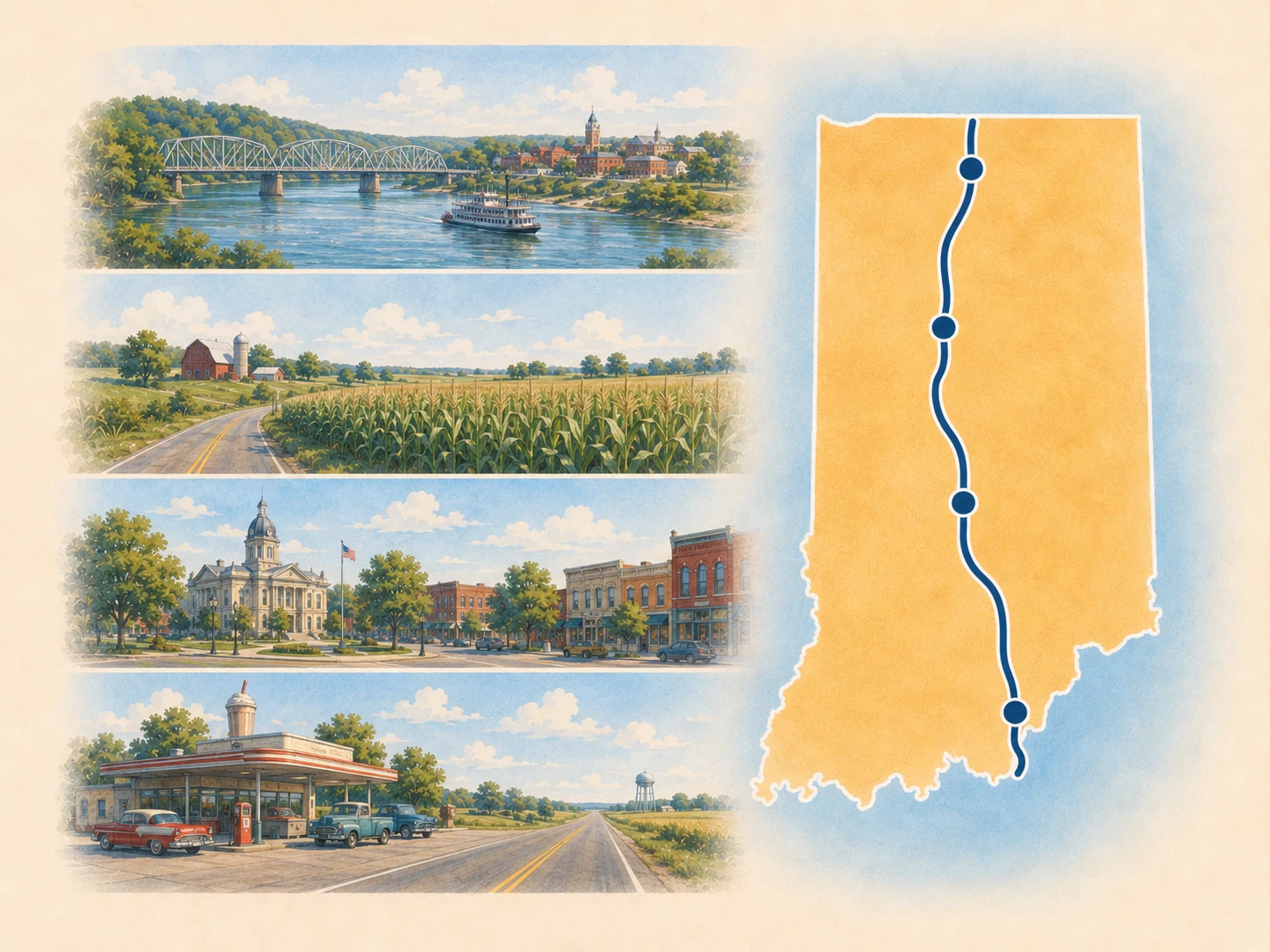
State 5 of 8 · Indiana · 4 place guides
Indiana
Role in the whole route: Ohio River continuation, Wabash Valley history corridor, long inland drive, and Chicago Southland approach.
US 41 continues from Evansville through Vincennes and Terre Haute, then across western Indiana toward Hammond and the Chicago approach.
Major transitions
Evansville river city to Vincennes → Vincennes to Terre Haute → Wabash Valley support towns → Hammond and the Chicago approach
Planning decisions
- Use Evansville, Vincennes, Terre Haute, and Hammond as the principal anchors.
- Treat Attica and Williamsport as pacing or county-seat support rather than mandatory destinations.
- Prepare for the shift from long inland driving to dense Chicago-area navigation.
Best reset posture
Evansville and Terre Haute are primary overnight anchors; Vincennes supports history-focused pacing.
Landscape and history
Ohio and Wabash river corridors · early territorial and transportation history · industrial and agricultural western Indiana · Chicago metropolitan approach
Places on the current mainline
Evansville · Vincennes · Terre Haute · Hammond
Print this state: Take the broad route role, transitions, resets, and checks offline in the Indiana Route 41 State Planner.
Open the 5-page state plannerNext: Illinois
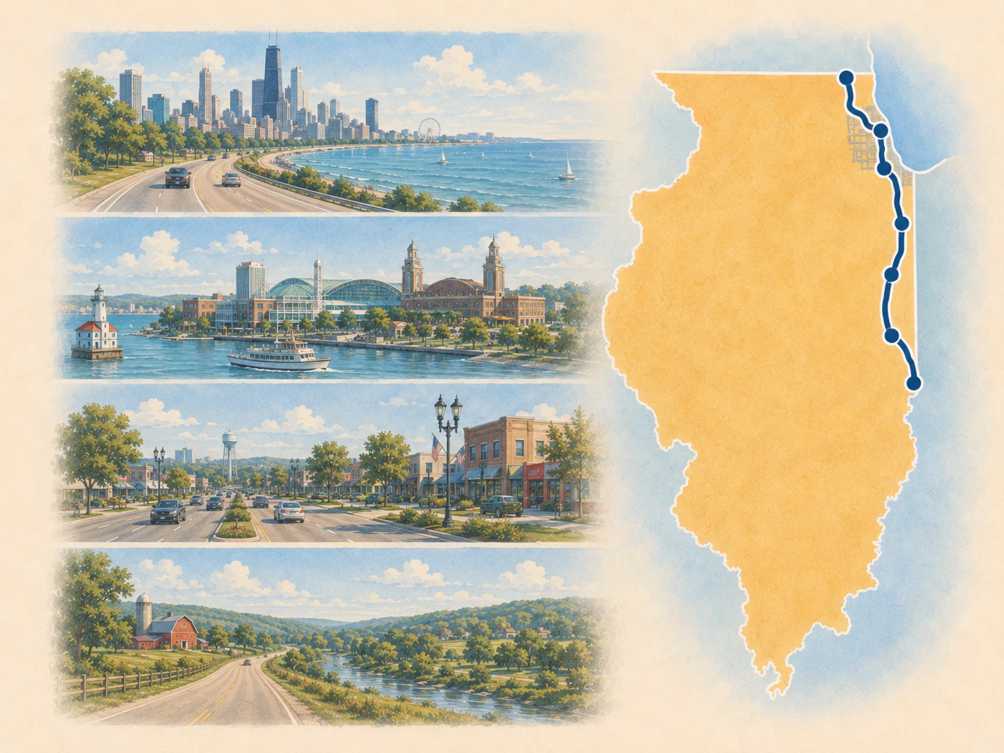
State 6 of 8 · Illinois · 4 place guides
Illinois
Role in the whole route: Chicago lakefront hinge and North Shore transition.
The through-route sequence is intentionally compact: Chicago is the main lakefront metropolitan anchor and Skokie is the North Shore approach, while nearby destination pages should be treated as deliberate side trips.
Major transitions
Hammond to Chicago → Chicago lakefront and urban US 41 → Skokie and the Wisconsin approach
Planning decisions
- Treat Chicago as a major destination and traffic decision, not a quick through-stop.
- Separate lakefront attractions, downtown destinations, and north-shore detours from uninterrupted current-US 41 travel.
- Treat Waukegan as corridor support unless it is a deliberate destination on your trip.
Best reset posture
Chicago is the dominant overnight anchor; north-shore stops are optional and purpose-driven.
Landscape and history
Chicago lakefront and urban highway history · industrial Southland · North Shore municipal and lakefront context
Places on the current mainline
Alternate, support, or detour places
Print this state: Take the broad route role, transitions, resets, and checks offline in the Illinois Route 41 State Planner.
Open the 5-page state plannerNext: Wisconsin
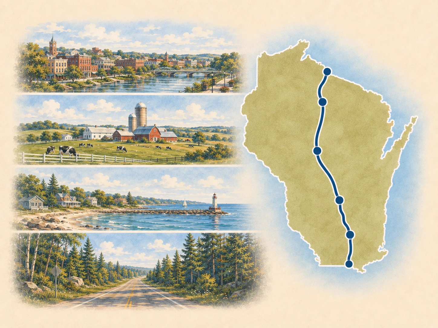
State 7 of 8 · Wisconsin · 13 place guides
Wisconsin
Role in the whole route: Lake Michigan entry, freeway-based metropolitan corridor, Lake Winnebago and Fox Valley sequence, and Michigan-border approach.
US 41 and I-41 move from Kenosha and Racine through Milwaukee, Lake Winnebago, the Fox Valley, Green Bay, and Marinette.
Major transitions
Illinois border to Kenosha and Racine → Milwaukee metropolitan corridor → Fond du Lac and Lake Winnebago → Oshkosh, Appleton, and Fox Valley → Green Bay to Marinette
Planning decisions
- Separate I-41 through-driving from lakefront downtowns and riverfront destinations.
- Use Milwaukee, the Lake Winnebago anchors, Appleton, Green Bay, and Marinette for major resets.
- Use Oak Creek, Lomira, Neenah, Little Chute, and De Pere as optional corridor stops rather than forcing every one into the through-route sequence.
Best reset posture
Milwaukee and Green Bay are strongest; Oshkosh and Appleton provide useful middle-state alternatives.
Landscape and history
Lake Michigan port cities · Wisconsin freeway evolution · Lake Winnebago and Fox River industry · Green Bay and northeastern Wisconsin transition
Places on the current mainline
Kenosha · Milwaukee · Fond du Lac · Oshkosh · Appleton · Green Bay
Alternate, support, or detour places
De Pere · Franklin · Little Chute · Lomira · Neenah · Oak Creek
Print this state: Take the broad route role, transitions, resets, and checks offline in the Wisconsin Route 41 State Planner.
Open the 5-page state plannerNext: Michigan
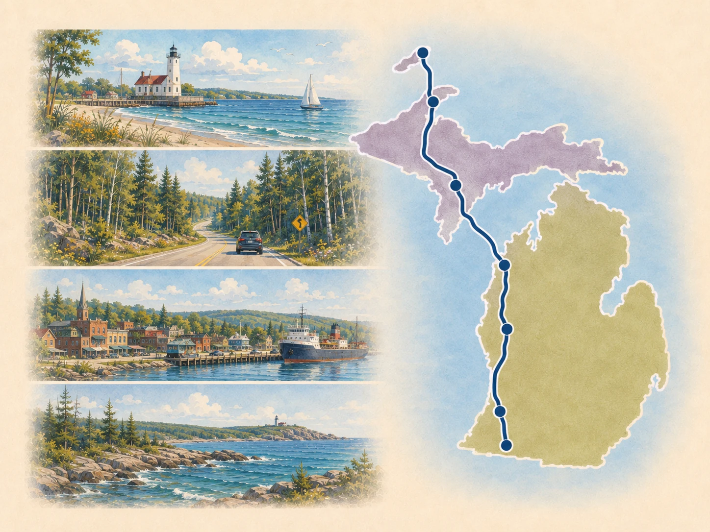
State 8 of 8 · Michigan · 8 place guides
Michigan
Role in the whole route: Upper Peninsula long-distance finish, Lake Superior chapter, Keweenaw bridge hinge, and northern terminus area.
US 41 enters the Upper Peninsula at Menominee, reaches Escanaba and Marquette, then follows the Keweenaw approach through L'Anse, Houghton, Hancock, Calumet, and Copper Harbor.
Major transitions
Menominee state entry to Escanaba → Escanaba to Marquette → Marquette to Keweenaw Bay → Houghton-Hancock lift-bridge hinge → Northern Keweenaw to Copper Harbor
Planning decisions
- Use Escanaba and Marquette as major resets before the Keweenaw approach.
- Use Houghton and Hancock as the final major service hinge before Copper Harbor.
- Treat weather, daylight, fuel, lodging, and the return trip as part of the Copper Harbor route job.
Best reset posture
Escanaba, Marquette, and Houghton are the primary resets; Copper Harbor requires a confirmed overnight or return plan.
Landscape and history
Upper Peninsula shoreline and forest · Lake Superior and maritime context · Keweenaw Bay Indian Community lands and authority boundaries · copper-country and distributed heritage landscape
Places on the current mainline
Menominee · Escanaba · Marquette · L’Anse · Houghton · Hancock · Calumet · Copper Harbor
Print this state: Take the broad route role, transitions, resets, and checks offline in the Michigan Route 41 State Planner.
Open the 5-page state plannerRoute finish: Copper Harbor and the return plan
Paper-first planning
Print only the state you are driving.
The Route 41 printable library now includes a dedicated five-page planner for each of the eight states, plus the whole-route Roadbook and lighter Tourist Checklist.
Browse the 8 state plannersNext layer
Turn a state into a driving chapter.
Open Segments for the 10 deeper road chapters, or Trips when you want a bounded itinerary rather than the whole state.