Major anchor place
Vincennes at a glance
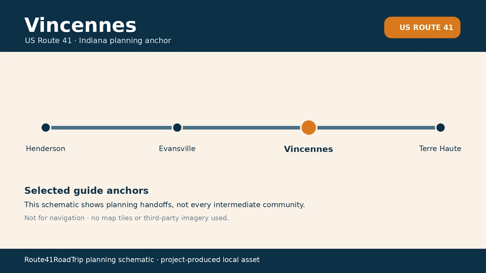
Vincennes is Route41’s major Southwest Indiana history and Wabash River anchor. Current US 41 skirts the east and southeast side of the city and meets the US 50/US 150 network, while the historic core, riverfront, and George Rogers Clark National Historical Park require a deliberate turn west from the through corridor. The city can support an overnight or substantial history stop without pretending the modern highway runs through the riverfront district.
Northbound, decide whether Vincennes is a through-corridor service stop or a deliberate history and riverfront visit before continuing toward Terre Haute.
How to use Vincennes on Route 41
1 · Planning cue
Choose the stop role first
Northbound, decide whether Vincennes is a through-corridor service stop or a deliberate history and riverfront visit before continuing toward Terre Haute.
2 · Planning cue
Use direction to shape the stop
Southbound, use Vincennes as the last substantial city decision before the quieter Southwest Indiana run toward Evansville.
3 · Planning cue
Keep the route and destination layers distinct
Keep current US 41, US 50/US 150, Old US 41, the historic street grid, the Wabash Riverfront, and the national historical park as separate navigation layers.
Why this place matters on Route41
Vincennes is the strongest history decision between Evansville and Terre Haute. It also makes the difference between the modern bypass and the historic Wabash River city explicit for travelers who want more than a service stop.
Northbound and southbound use
Northbound, decide whether Vincennes is a through-corridor service stop or a deliberate history and riverfront visit before continuing toward Terre Haute.
Southbound, use Vincennes as the last substantial city decision before the quieter Southwest Indiana run toward Evansville.
Route and local-destination choices
Keep current US 41, US 50/US 150, Old US 41, the historic street grid, the Wabash Riverfront, and the national historical park as separate navigation layers.
Planning weight
Vincennes is best used when its role is named in advance: a substantial planned city visit between Evansville and Terre Haute. It is less useful when every nearby route, district, attraction, or service area is compressed into a single generic stop.
Practical route utility
Use current INDOT and National Park Service information for construction, access, hours, and visitor-facility conditions. A history stop requires dedicated city time rather than a roadside pull-off assumption.
Route layers to use from Vincennes
Use these pages to move from the stop-level decision back to the state chapter, the connected trip shape, and the wider Route 41 corridor.
State context
Indiana
Use the state gateway when you need the larger corridor sequence, route distinctions, and the next cross-state handoff.
Connected trip
Nashville to Chicago
Use the connected trip frame to place Vincennes inside the longer driving day.
Whole corridor
Route 41 overview
Zoom out when this stop needs to be compared with the wider Miami-to-Copper Harbor road sequence.
Nearby route handoff
Terre Haute
Open the nearby place guide when the next decision is where to pause, reset, or continue on the corridor.