Major anchor place
Terre Haute at a glance
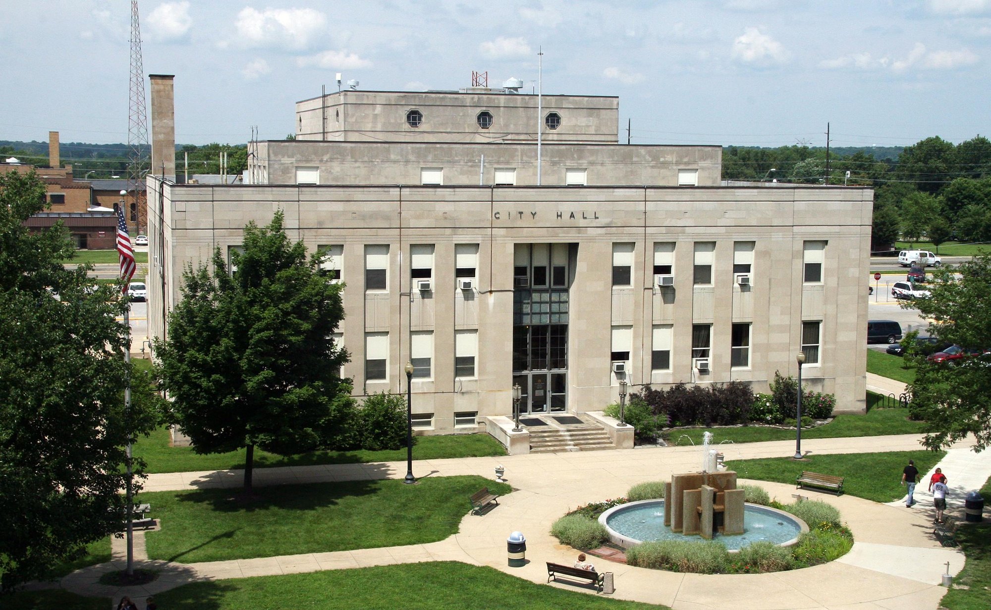
Terre Haute is Route 41's principal Wabash Valley city, service, and overnight anchor. INDOT mapping shows US 41 running north-south through the city, crossing US 40/Wabash Avenue and I-70, while downtown, Indiana State University, the 41|40 Arts and Cultural District, and river-oriented stops require separate local planning. The city supports anything from a substantial reset to an overnight or city-day stop, but current traffic, construction, parking, and event conditions should come from live official sources.
Northbound, use Terre Haute as the last major full-service and overnight decision before the quieter Attica-Williamsport corridor.
How to use Terre Haute on Route 41
1 · Planning cue
Choose the stop role first
Northbound, use Terre Haute as the last major full-service and overnight decision before the quieter Attica-Williamsport corridor.
2 · Planning cue
Use direction to shape the stop
Southbound, use the city as the first substantial resupply and city-stop option after western Indiana.
3 · Planning cue
Keep the route and destination layers distinct
Keep current US 41, US 40/Wabash Avenue, I-70, downtown streets, Indiana State University, and river-oriented stops distinct.
Route relationship
Terre Haute is Route 41’s principal Wabash Valley city and the strongest full-service and overnight anchor between Evansville and the Chicago approach. Current US 41 runs north-south through the city, crossing US 40/Wabash Avenue and I-70, while downtown streets, campus, cultural, and river-oriented stops each require separate local planning.
The city carries the historic US 41/US 40 crossroads identity, but that history is not a substitute for current signed-route navigation. Use it as context for choosing a city layer, not as a reason to blur the road network together.
Why the city matters
Terre Haute is where a long Wabash Valley day can become a substantial reset, an overnight, or a focused city stop. It has the scale to handle a meal and resupply break without turning every stop into a city-day commitment, while selected downtown, campus, and cultural layers offer reasons to slow down deliberately.
The 41|40 Arts and Cultural District reflects the historic crossroads identity at downtown scale. Indiana State University, downtown, the district, and the Wabash River each belong to a local-destination decision rather than the continuous US 41 drive.
Northbound and southbound use
Northbound, use Terre Haute as the final major full-service or overnight decision before the quieter Attica–Williamsport corridor. Choose between practical time and one focused city layer, then prepare for the longer approach toward the Chicago Southland.
Southbound, use Terre Haute as the first substantial city and resupply option after western Indiana. Keep the through route distinct from downtown, campus, and cultural-district visits, then plan the longer progression toward Vincennes and Evansville without treating either as immediately adjacent.
Mainline and local-destination choices
Current US 41 is the corridor layer. US 40/Wabash Avenue and I-70 are separate crossings and service geographies, not interchangeable names for the route. Downtown streets, Indiana State University, the 41|40 Arts and Cultural District, and river-oriented destinations are optional local layers that deserve their own time and parking plan.
Planning weight
Terre Haute can support several useful levels of stop:
- A substantial reset, meal, or resupply break.
- An overnight before or after a long Indiana driving day.
- A selected downtown or campus visit.
- A focused cultural stop or a full city day when the itinerary allows it.
Practical route utility
US 41 traffic, I-70 interchange conditions, construction, downtown parking, campus access, events, business availability, river access, and lodging availability can change. Check current official transportation and local information before relying on a particular route layer, parking plan, or destination operation.
Route layers to use from Terre Haute
Use these pages to move from the stop-level decision back to the state chapter, the connected trip shape, and the wider Route 41 corridor.
State context
Indiana
Use the state gateway when you need the larger corridor sequence, branch distinctions, and the next cross-state handoff.
Connected trip
Nashville to Chicago
Use the western Kentucky and Wabash Valley trip frame toward Chicago.
Whole corridor
Route 41 overview
Zoom out when this stop needs to be compared with the full Miami-to-Copper Harbor road sequence.
Nearby route handoff
Evansville
Open the nearby place guide when the next decision is where to pause, reset, or continue on the corridor.
Related existing pages
- Route 41 overview for the full-corridor context.
- Evansville for the existing public southbound city anchor.
- Chicago for the next existing public northbound city anchor.
- Browse all Route 41 places for the current public place directory.