Major anchor place
Chicago at a glance
Chicago is Route 41’s largest metropolitan, lakefront, overnight, and multi-day decision. Current US 41 enters from Northwest Indiana through the far South Side, uses a changing surface-street and lakefront sequence, follows DuSable Lake Shore Drive for the central lakefront passage, and leaves the city toward Lincolnwood and Skokie. The signed corridor, downtown, museums, neighborhoods, beaches, parking, events, and lodging are separate planning layers; current navigation and official traffic information are essential.
Northbound, decide before entry whether Chicago is a through-drive, overnight, or multi-day stop.
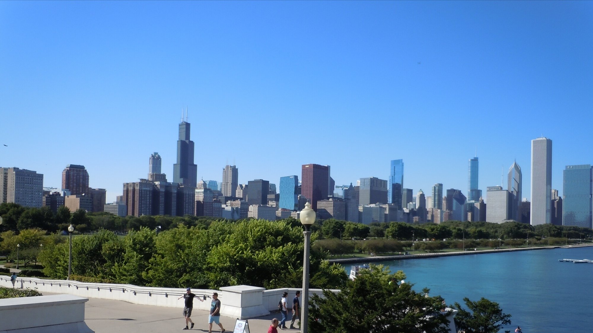
How to use Chicago on Route 41
1 · Planning cue
Choose the stop role first
Northbound, decide before entry whether Chicago is a through-drive, overnight, or multi-day stop.
2 · Planning cue
Use direction to shape the stop
Southbound, confirm the lakefront and South Side sequence before leaving the Skokie corridor.
3 · Planning cue
Keep the route and destination layers distinct
Keep current US 41, US 12/US 20 relationships, I-90/I-94 alternatives, downtown, and attraction districts distinct.
Chicago’s Route 41 relationship
Chicago is Route 41’s largest metropolitan decision and its strongest lakefront and multi-day city anchor. Current US 41 approaches from Hammond and Northwest Indiana, enters through the far South Side, changes street identity and urban form through the city, and continues north toward Lincolnwood and Skokie.
DuSable Lake Shore Drive carries an important central lakefront portion of that passage, but it is not the entirety of US 41 through Chicago. Keep the signed route distinct from US 12 and US 20 relationships, I-90 and I-94 alternatives, downtown, and the city’s lakefront destinations. Current signs and navigation should govern exact turns.
Northbound and southbound use
Northbound, decide before entering whether Chicago is a through-drive, an overnight, or a destination stay. Plan the South Side and lakefront passage before departure, and keep parking and city activities separate from the through-drive. Hammond is the unlinked pre-city orientation context; leave Chicago with the north-side progression toward Skokie understood.
Southbound, set Chicago’s time budget before leaving the Skokie and north-side corridor. Distinguish the city route from I-90/I-94 alternatives, then separate downtown or lakefront activities from the South Side exit plan. Hammond is the unlinked first major Indiana orientation context after the city, before the longer progression toward Terre Haute.
Signed corridor versus city destinations
The signed corridor is one planning layer. Downtown, the lakefront, museums, architecture, neighborhoods, beaches and parks, and food or evening plans are separate destination layers. Each can require deliberate routing, time, and often parking or transit planning; none is automatically encountered by following US 41.
Choose the city layer that fits the drive rather than treating Chicago as a single stop. A lakefront passage, a focused downtown plan, or one neighborhood or museum choice can each work well when it has its own time budget.
Through-drive, overnight, and multi-day choices
Chicago can support a carefully prepared through-drive, an arrival evening and overnight, a focused half-day, a full city day, or a multi-day stay. The useful choice is not simply whether to stop, but how much of the city to ask one day to carry.
Use a through-drive when the route itself is the priority. Choose an overnight when the city needs to break up the metropolitan passage. Reserve a focused city day for one or two selected layers, and use a multi-day stay when Chicago is a deliberate destination rather than a pause between road segments.
From US 41 to Route 66 in Chicago
Chicago can also serve as a practical traveler handoff between a Route 41 journey and the Route 66 starting experience. That is a geographic and itinerary-based connection: it does not mean that US 41 and historic Route 66 physically overlap, share pavement, or become one another in Chicago.
Historic Route 66 context
Grant Park
The National Park Service identifies Grant Park as historic Route 66's official eastern terminus, with historic end-sign context at Jackson and Michigan Avenues. Treat that as a city destination and an orientation point, not as an extension of the signed US 41 corridor.
2026 symbolic role
Navy Pier
Navy Pier has a separate 2026 Route 66 role as an unofficial, symbolic centennial starting point. It does not replace Grant Park's historic-terminus context, and it should not be treated as the official historic beginning of Route 66.
A practical combined-journey sequence
Finish or pause the Route 41 chapter in Chicago, choose a stay that fits the city time budget, and visit the historic Route 66 starting context if it fits the trip. Then begin the Route 66 portion with current guidance from a dedicated Route 66 source, rather than treating this page as a full Mother Road itinerary. Before driving, verify current signs, traffic, construction, parking, transit, and park access through official transportation and destination sources; city conditions can change faster than a route-planning page.
For the Route 41 side of the transition, return to the route overview or begin the Chicago-to-Copper-Harbor trip when the northbound corridor is next.
Chicago-to-Atlanta gateway
Chicago is also the northern anchor for a distinctive long-form Route 41 journey to Atlanta. Instead of treating the two metros as disconnected city stops, the Chicago-to-Atlanta Route 41 gateway trip follows the established corridor through Terre Haute, Evansville, Nashville, and Chattanooga. Use it when the goal is to understand how the Chicago lakefront chapter connects to the southern metro corridor rather than simply finding the fastest interstate path between the cities.
Practical route utility
Traffic, lane closures, construction, events, parking, transit, beach and park access, weather, lodging availability, attraction hours, fees, and facility operations can change. Check current transportation, destination, and lodging information before relying on a particular route layer, parking plan, activity, or overnight arrangement.
The Illinois mini-map on this page is a known visual limitation. Use it for broad state context, not as a substitute for current signed-route navigation through the metropolitan area.
Route layers to use from Chicago
Use these pages to move from the stop-level decision back to the state chapter, the connected trip shape, and the wider Route 41 corridor.
State context
Illinois
Use the state gateway when you need the larger corridor sequence, branch distinctions, and the next cross-state handoff.
Connected trip
Chicago to Copper Harbor
Use the Wisconsin and Upper Peninsula trip frame for the northern finish.
Whole corridor
Route 41 overview
Zoom out when this stop needs to be compared with the full Miami-to-Copper Harbor road sequence.
Nearby route handoff
Terre Haute
Open the nearby place guide when the next decision is where to pause, reset, or continue on the corridor.
Related existing pages
- Route 41 overview for the full-corridor context.
- Terre Haute as the previous available southbound public anchor.
- Milwaukee as the next available northbound public anchor.
- Browse all Route 41 places for the current public place directory.