Route overview
Route 41 Road Trip Overview
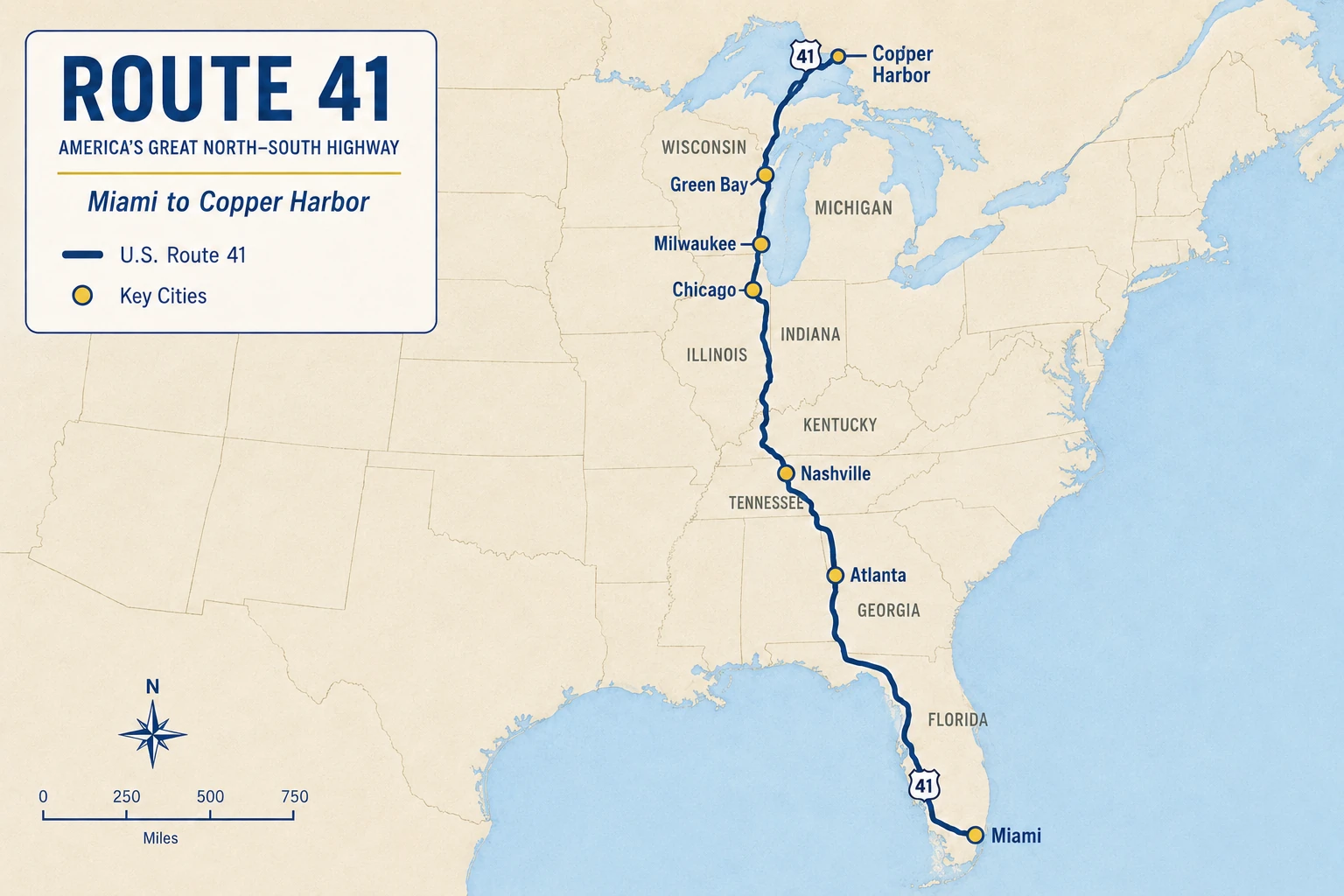
Route 41 Road Trip begins in Miami on the Tamiami Trail, crosses Big Cypress, follows the Gulf Coast, and continues through the South, Midwest, Great Lakes, and Upper Peninsula to the Copper Harbor terminus area.
Use this whole-corridor guide before choosing a state, place, trip, or the next chapter of the drive.
Northbound
Planning northbound — Miami to Copper Harbor
Start with the Tamiami Trail and Big Cypress, then pace the drive through Florida, Georgia, Tennessee, the Midwest, Wisconsin, and the Upper Peninsula.
Plan the northbound driveSouthbound
Planning southbound — Copper Harbor to Miami
Begin the remote northern departure with fuel, weather, daylight, and services settled, then work south through Wisconsin, Chicago, the interior corridor, and Florida.
Plan the southbound driveRoute 41 at 100
The modern Miami start is a later chapter
US 41’s original 1926 corridor broadly ran from Naples to Copper Harbor. AASHO extended the designation from Naples to Miami in 1949, so this modern Miami-to-Copper-Harbor planning route is not an unchanged 1926 alignment. Read the Route 41 centennial story for the original corridor, the Miami extension, and the Tamiami Trail distinction.
The Miami-to-Copper-Harbor corridor
Route 41 is a sequence of distinct driving chapters, not one undifferentiated trip. The road moves from a dense South Florida departure and wetland crossing to Gulf Coast city choices, inland Southern resets, Midwest river and metro pacing, Wisconsin alternatives, and a remote northern finish. Along the way, a mainline drive and a destination stop are not always the same decision.

ROAD COFFEE
Coffee for the next Route 41 stretch
Keep a simple coffee setup in the vehicle for a fresh cup between Gulf Coast towns, inland stretches, Midwest city stops, and the lake-country miles ahead.
Shop the Route 41 Amazon StoreAffiliate disclosure: Route41 may earn a commission from qualifying purchases.
Prefer the Interstate for distance? Route 41 still helps
You do not have to stay on U.S. 41 for every mile to use this guide. In Georgia, I-75 can carry the fast north-south mileage while Route 41 helps identify the towns, older-road texture, and city stops worth leaving the Interstate for. In Wisconsin, I-41 is often the through-driving layer, while the useful Route 41 decision is when Milwaukee, the Fox Valley, Green Bay, or another local destination deserves time away from uninterrupted freeway travel.
Georgia bridge
I-75 for pace, Route 41 for selected stops
Use I-75 when the schedule needs speed, then use Georgia, the South and Middle Georgia chapter, and the Lake City to Atlanta trip to decide whether Valdosta, Macon, Atlanta, or the older highway sequence is worth the slower layer.
Wisconsin bridge
I-41 through-driving, local destinations by choice
Through the Fox Valley, keep the freeway and the destinations separate. Use Wisconsin, the Fox Valley chapter, and the Chicago to Copper Harbor trip to decide when a city, riverfront, lakefront, or reset earns the exit.
Choose the next planning depth
Move from the whole route into the layer that answers the next question.
States
Use the eight state chapters for broad route behavior, major transitions, reset posture, history/landscape themes, and branch warnings.
Segments
Use the ten driving chapters for entry decisions, drive rhythm, stop sequence, resets, distinctions, current checks, and exit decisions.
Trips
Use synthesized trip pages when you want phases, primary and backup anchors, and a bounded pacing posture.
Printable library
Choose from the whole-route Roadbook and Checklist, eight state planners, ten driving-chapter planners, eleven trip companions, road tools, and centennial printables.
Road chapters
Follow the corridor south to north, then open the chapter that fits the next stretch of your drive.
Chapter 1
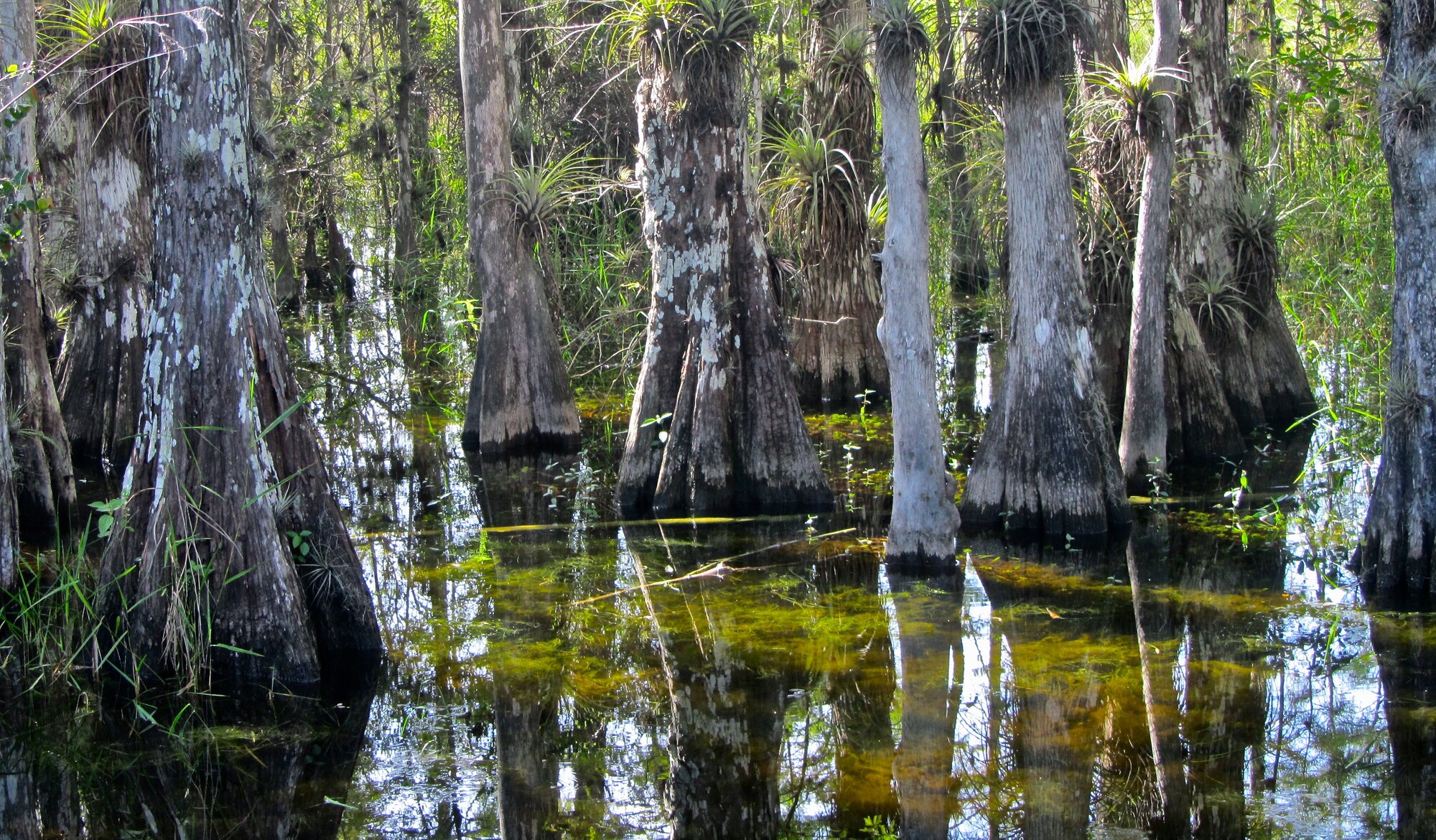
Tamiami Trail and Big Cypress
Establish the Miami start, Tamiami Trail identity, Everglades and Big Cypress crossing, and Naples handoff.
Drive rhythm: Dense urban start, long wetland crossing, sparse stop pattern, then Gulf Coast re-entry.
Public planning anchors: Miami · Big Cypress National Preserve
Chapter 2
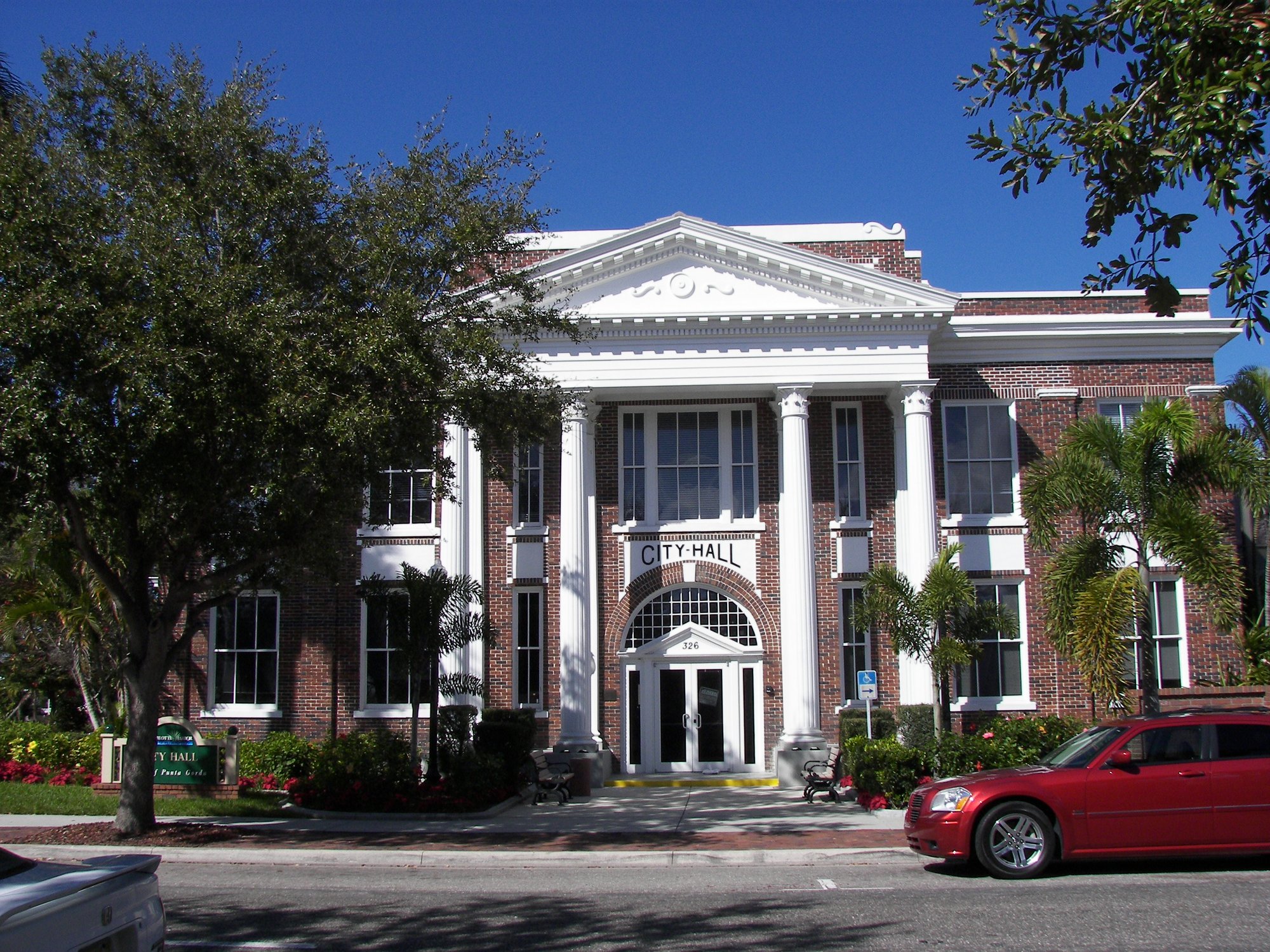
Southwest Florida and Gulf Coast
Connect Naples, Southwest Florida, Charlotte Harbor, Sarasota-Manatee, and the Tampa approach.
Drive rhythm: Frequent towns, river and harbor crossings, suburban growth corridors, and repeated downtown or waterfront detour choices.
Public planning anchors: Naples · Estero · Fort Myers · Punta Gorda · North Port
Chapter 3
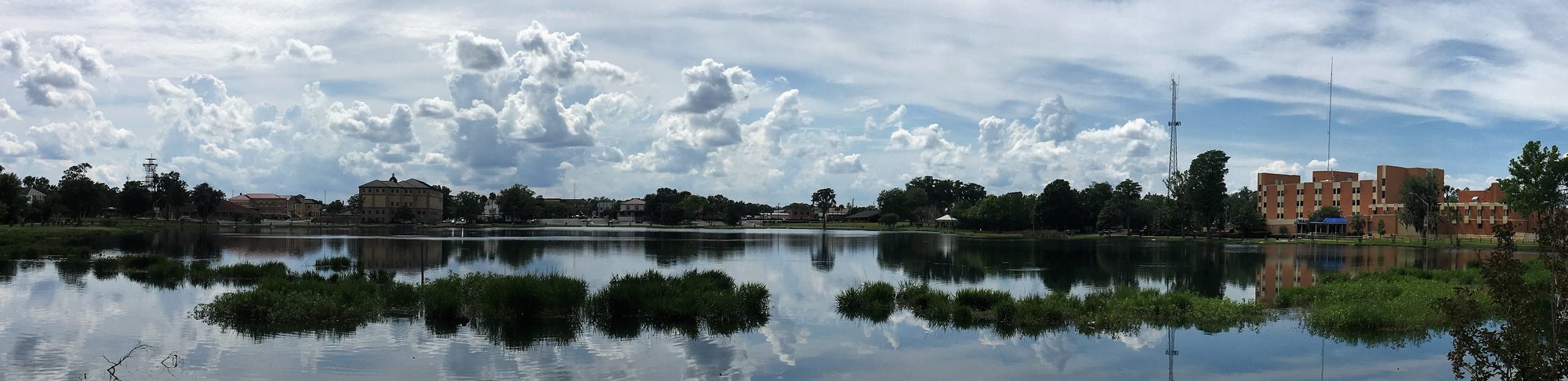
Tampa Bay through North Florida
Move from Tampa through inland west-central Florida, springs country, Lake City, and the Georgia border.
Drive rhythm: Urban departure, suburban and rural inland corridor, springs-country choices, then long borderland pacing.
Public planning anchors: Tampa · Brooksville · Lake City
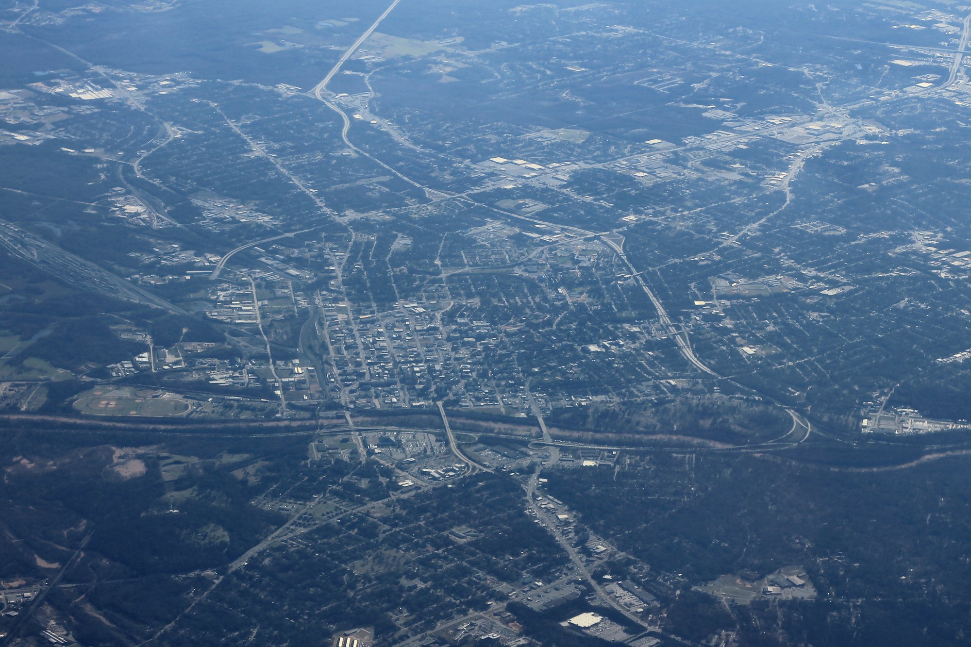
Chapter 4
South and Middle Georgia
Establish the Valdosta-to-Macon agricultural, military, rail, and county-seat sequence.
Drive rhythm: Long inland stretches punctuated by agricultural and county-seat towns, then a stronger Middle Georgia city sequence.
Public planning anchors: Valdosta · Tifton · Warner Robins · Macon · Forsyth · Byron
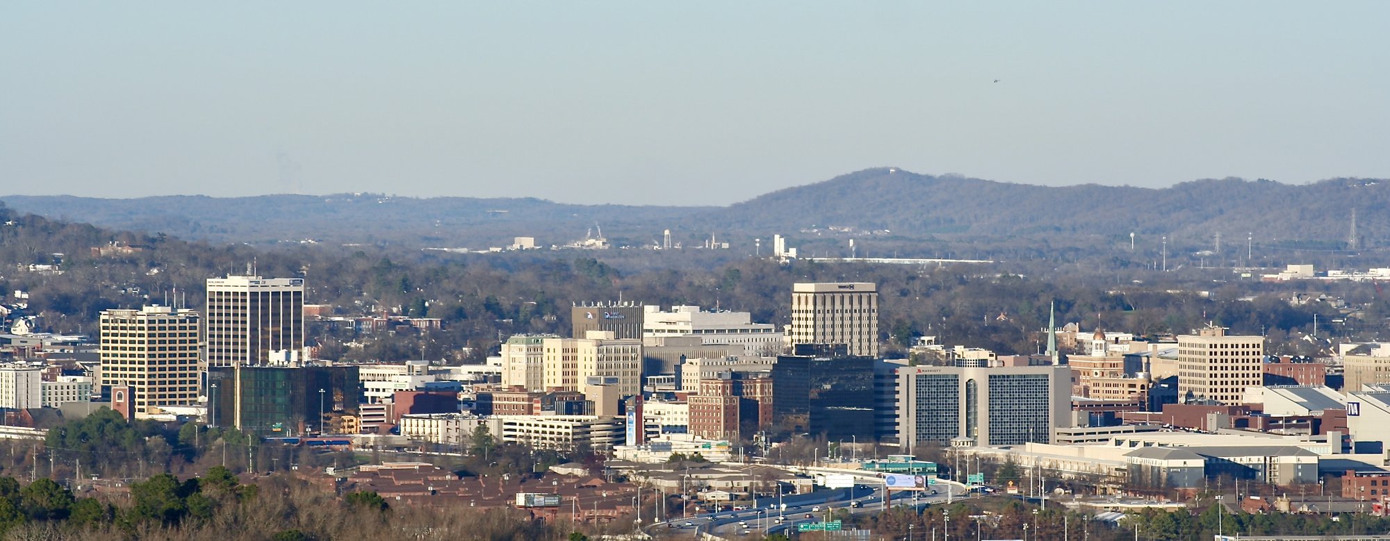
Chapter 5
Atlanta and the Tennessee handoff
Handle the Atlanta metropolitan hinge, north Georgia sequence, and Chattanooga entry.
Drive rhythm: Dense metropolitan corridor, suburban commercial sequence, north Georgia towns, then Tennessee River city entry.
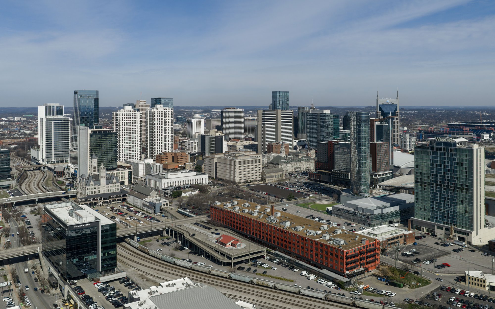
Chapter 6
Tennessee plateau and city sequence
Explain the Monteagle junction, current-US 41 mainline, US 41A branch system, Middle Tennessee, Nashville, and Kentucky approach.
Drive rhythm: Mountain and plateau transition, smaller-city sequence, major Nashville hinge, then a quieter border approach.
Public planning anchors: Monteagle · Murfreesboro · Nashville
Chapter 7
Kentucky and Indiana corridor
Connect western Kentucky, the Ohio River crossing, the Wabash Valley, and the Chicago approach.
Drive rhythm: Compact Kentucky chapter, major river crossing, long inland Indiana corridor, then dense metropolitan approach.
Public planning anchors: Hopkinsville · Henderson · Evansville · Vincennes · Terre Haute · Earlington · Mortons Gap · Robards

Chapter 8
Chicago Southland and lakefront
Handle Hammond, Chicago, the lakefront metropolitan hinge, and the North Shore transition.
Drive rhythm: Industrial and urban approach, dense lakefront metro, then north-shore transition.
Public planning anchors: Hammond · Chicago · Evanston · Waukegan · Zion
Chapter 9
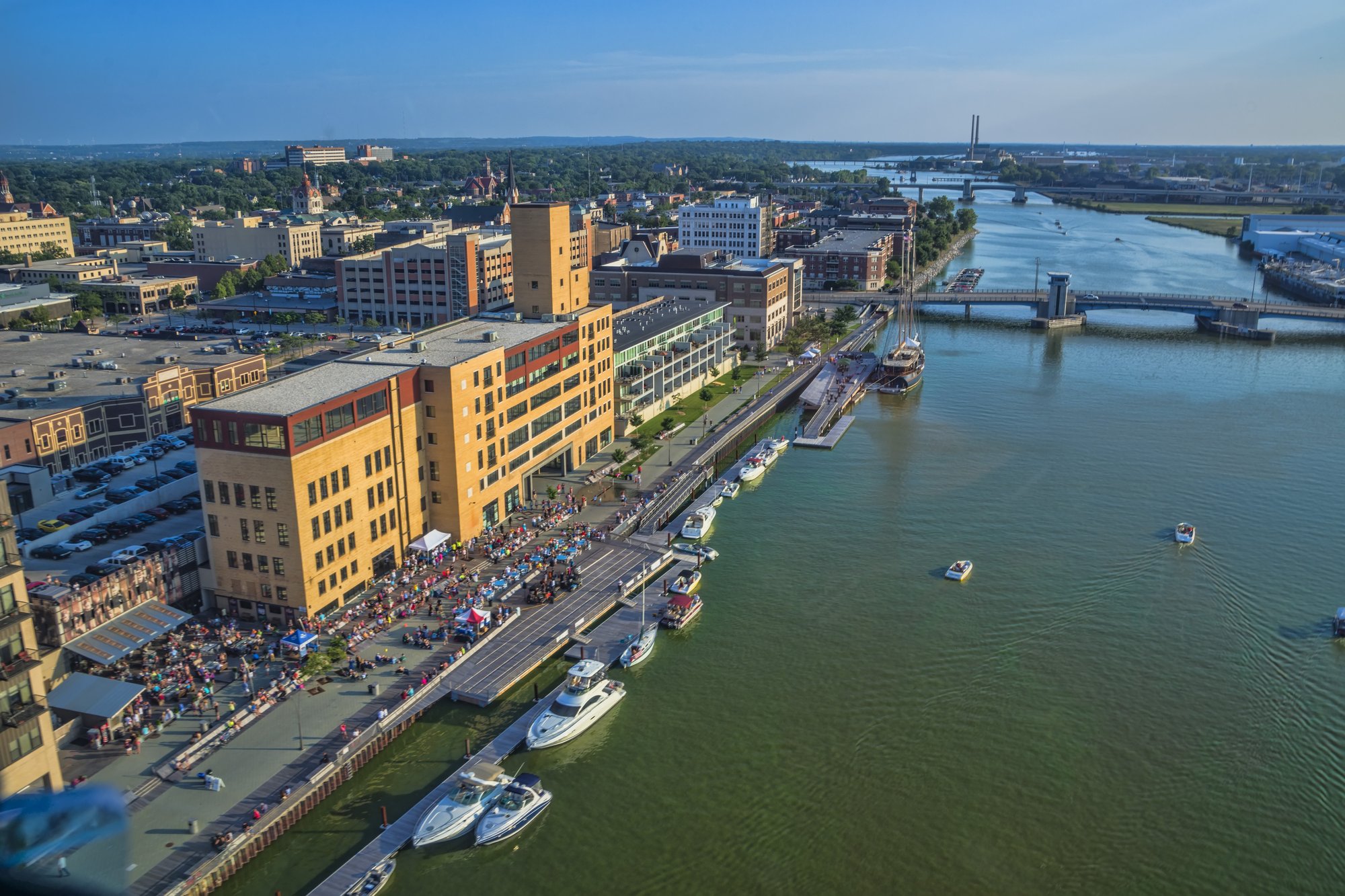
Wisconsin lakefront and Fox Valley
Connect Wisconsin entry, Milwaukee, Lake Winnebago, Fox Valley, Green Bay, and Marinette.
Drive rhythm: Freeway-based metro corridor, lake and river city sequence, then a longer northeastern Wisconsin run.
Public planning anchors: Kenosha · Milwaukee · Fond du Lac · Oshkosh · Appleton · Green Bay · De Pere · Franklin · Little Chute
Chapter 10
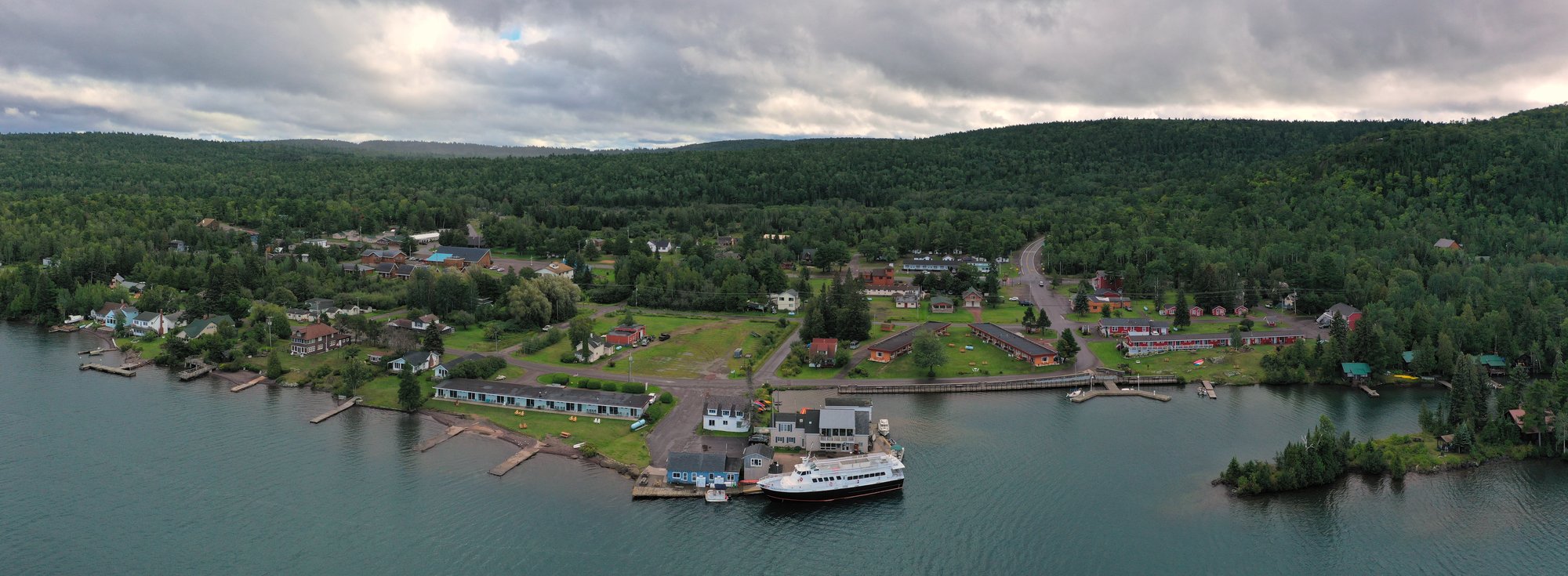
Upper Peninsula finish
Carry the route from Menominee through Escanaba, Marquette, Keweenaw Bay, Houghton-Hancock, and Copper Harbor.
Drive rhythm: Long shoreline and forest sections, major reset cities, a paired-city bridge hinge, then a remote final approach.
Public planning anchors: Calumet · Copper Harbor
Plan the drive in either direction
Miami to Copper Harbor
Planning northbound
- Prepare deliberately for the Tamiami Trail and Big Cypress crossing before leaving Miami.
- Select Gulf Coast stops as separate choices, rather than assuming every waterfront or downtown destination is on the mainline.
- Use Georgia and Tennessee anchors for resets; keep current US 41 distinct from US 41A branch destinations.
- Pace Kentucky, Indiana, and Chicago around river crossings and major-city navigation.
- In Wisconsin, choose between a faster freeway corridor and lakefront or Fox Valley time.
- Use the Marinette-Menominee crossing for state-line orientation, Escanaba for the southern-UP reset, Marquette for the Lake Superior reset, and L’Anse for the Keweenaw Bay transition.
- Treat Houghton-Hancock as the final major service hinge, then arrive at Copper Harbor with a prepared overnight or return plan.
Copper Harbor to Miami
Planning southbound
- Leave Copper Harbor with weather, daylight, fuel, lodging, and the return route settled; use Hancock-Houghton, L’Anse, Marquette, Escanaba, and Menominee as successive southbound contexts.
- Prepare for the Marinette-Menominee crossing, then manage the Wisconsin and Chicago transitions with a clear route choice.
- Pace Indiana and Kentucky around Terre Haute, Vincennes, Evansville, Henderson, and Hopkinsville.
- Keep Tennessee mainline travel separate from US 41A branches, then use Georgia and North Florida anchors for long southern resets.
- Choose Gulf Coast stops intentionally before the Tamiami Trail crossing and the Miami finish.
Major anchors and useful supports
These public anchors help organize the trip. L’Anse is a lighter Keweenaw Bay transition; browse Places when you are ready to choose stops in more detail.
Route41 identity
One connected Miami-to-Copper-Harbor journey
Route 41 shifts from the Tamiami Trail and Gulf Coast to Southern cities, inland working-road stretches, Great Lakes metros, Wisconsin, and the Upper Peninsula. Its identity comes from that changing route rhythm.
Next step
Continue planning
Continue planning
State chapters
States
Use the state pages for the broad geography behind each chapter.
Driving bands
Segments
Use the segment pages to compare broad route bands.
Anchor stops
Places
Use places to choose anchors and supports for the drive.
Practical drives
Trips
Use trips when the corridor needs to become a manageable plan.