Major anchor place
Big Cypress National Preserve at a glance
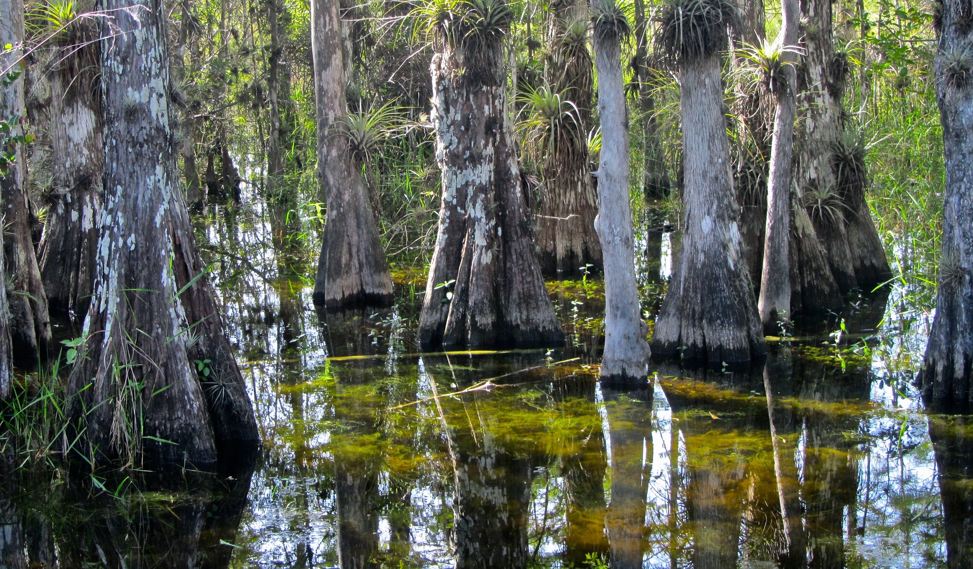
Big Cypress National Preserve is the defining natural-landscape anchor of Route 41’s South Florida opening. US 41/Tamiami Trail crosses the preserve between Miami and Naples, with official visitor centers, roadside parks, boardwalks, and scenic-drive choices that can turn a simple crossing into a short reset, a half-day, or a deeper public-lands stop.
Allow at least a few hours when Big Cypress is a deliberate stop; use a visitor center, boardwalk, or roadside park rather than treating the entire preserve as one attraction.
How to use Big Cypress National Preserve on Route 41
1 · Planning cue
Choose the stop role first
Allow at least a few hours when Big Cypress is a deliberate stop; use a visitor center, boardwalk, or roadside park rather than treating the entire preserve as one attraction.
2 · Planning cue
Use direction to shape the stop
Northbound from Miami, use the preserve as the first major landscape change and the place where the road-trip pace should slow.
3 · Planning cue
Keep the route and destination layers distinct
Southbound from Naples, use it as the final long natural corridor before the route re-enters metropolitan Miami-Dade.
Why this stop matters
US 41, the Tamiami Trail, crosses Big Cypress National Preserve between Miami and Naples. The change is not just a matter of mileage: the metropolitan opening gives way to cypress, prairie, pineland, hammock, and wetland landscapes, and the road needs a different kind of attention.
This is a preserve crossing rather than a town stop, with its own identity and planning role. Big Cypress is where the Route 41 day can shift from getting somewhere to deciding how much of the public-lands chapter to experience.
Northbound and southbound use
Northbound, Big Cypress is the major landscape transition after Miami. Make it the day’s primary natural-landscape decision, then use Naples as the first major Gulf Coast reset after the crossing.
Southbound, it is the final long natural corridor before Miami-Dade. Plan the preserve and the city finish separately: preserve travel is shaped by daylight and current conditions, while Miami is a distinct urban arrival.
Planning weight and pacing
Choose the preserve experience that fits the route day rather than treating every stop as mandatory. A short orientation can center on one official visitor center, boardwalk, viewpoint, or roadside park. A balanced preserve chapter allows for a more meaningful stop or two before continuing. A slow public-lands day gives the landscape the planning weight it deserves without treating Big Cypress as an expected place to sleep.
The right choice is not defined by mileage alone. A planned stop, changing conditions, and the transition between city and wetland can all make this crossing more consequential than a simple map segment.
Practical route utility
Wet and dry seasons can change the character of the preserve. Heat, water, storms, mosquitoes, wildlife patterns, and access may all affect the day, and wildlife sightings are never guaranteed. Check current NPS alerts, conditions, weather, and road information before relying on a particular stop.
Use official visitor centers, roadside parks, boardwalks, and viewpoints as flexible planning categories, not promises about a specific facility’s current access or amenities. Keep the through-route and any optional side exploration distinct, and let current conditions determine how much of the preserve fits the day.
Route layers to use from Big Cypress National Preserve
Use these pages to move from the stop-level decision back to the state chapter, the connected trip shape, and the wider Route 41 corridor.
State context
Florida
Use the state gateway when you need the larger corridor sequence, branch distinctions, and the next cross-state handoff.
Connected trip
Miami to Naples
Use the Tamiami Trail and Big Cypress trip frame for the southern opening.
Whole corridor
Route 41 overview
Zoom out when this stop needs to be compared with the full Miami-to-Copper Harbor road sequence.
Nearby route handoff
Miami
Open the nearby place guide when the next decision is where to pause, reset, or continue on the corridor.
Before, after, and related pages
Big Cypress connects the southern city launch in Miami with the Gulf Coast reset in Naples. Use the Miami-to-Naples road trip to plan the chapter, the Tamiami Trail and Big Cypress route overview for corridor context, or all Route 41 places to continue exploring the route.