Segment directory
Route 41 Driving Segments
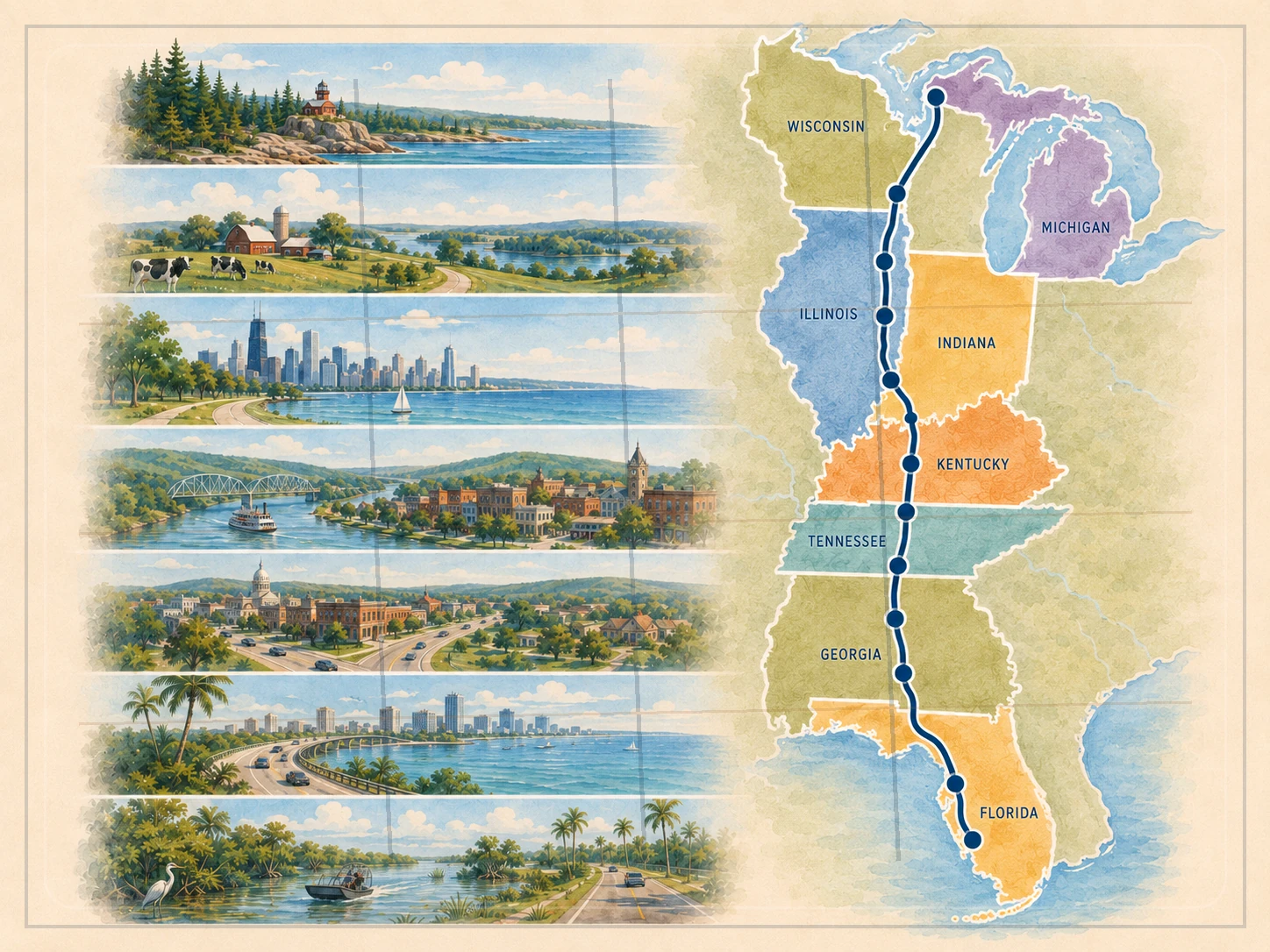
These ten chapters explain how the highway actually changes: where the driving rhythm shifts, which stops form a logical sequence, where a reset makes sense, and what decision belongs at the next handoff.
This is now the deeper driving layer. Use the route overview for the complete corridor and this page when you are ready to plan one chapter at a time.
Use one chapter at a time
Enter, drive, reset, hand off.
Each chapter below starts with an entry decision, names the drive rhythm and logical stop sequence, then ends with the next decision. That keeps optional destinations from turning into accidental route claims.
Paper-first companion
Mark the chapters before you leave.
The US Route 41 Tourist Checklist PDF includes all eight states, the ten road chapters, daily-experience choices, and practical verification reminders.
Open the printable checklistTen deeper driving chapters
Follow the corridor south to north. Linked place guides cover the stops already published on the site; other towns appear only when they help explain pacing, sequence, or a route decision.
Chapter 1 of 10
Tamiami Trail and Big Cypress
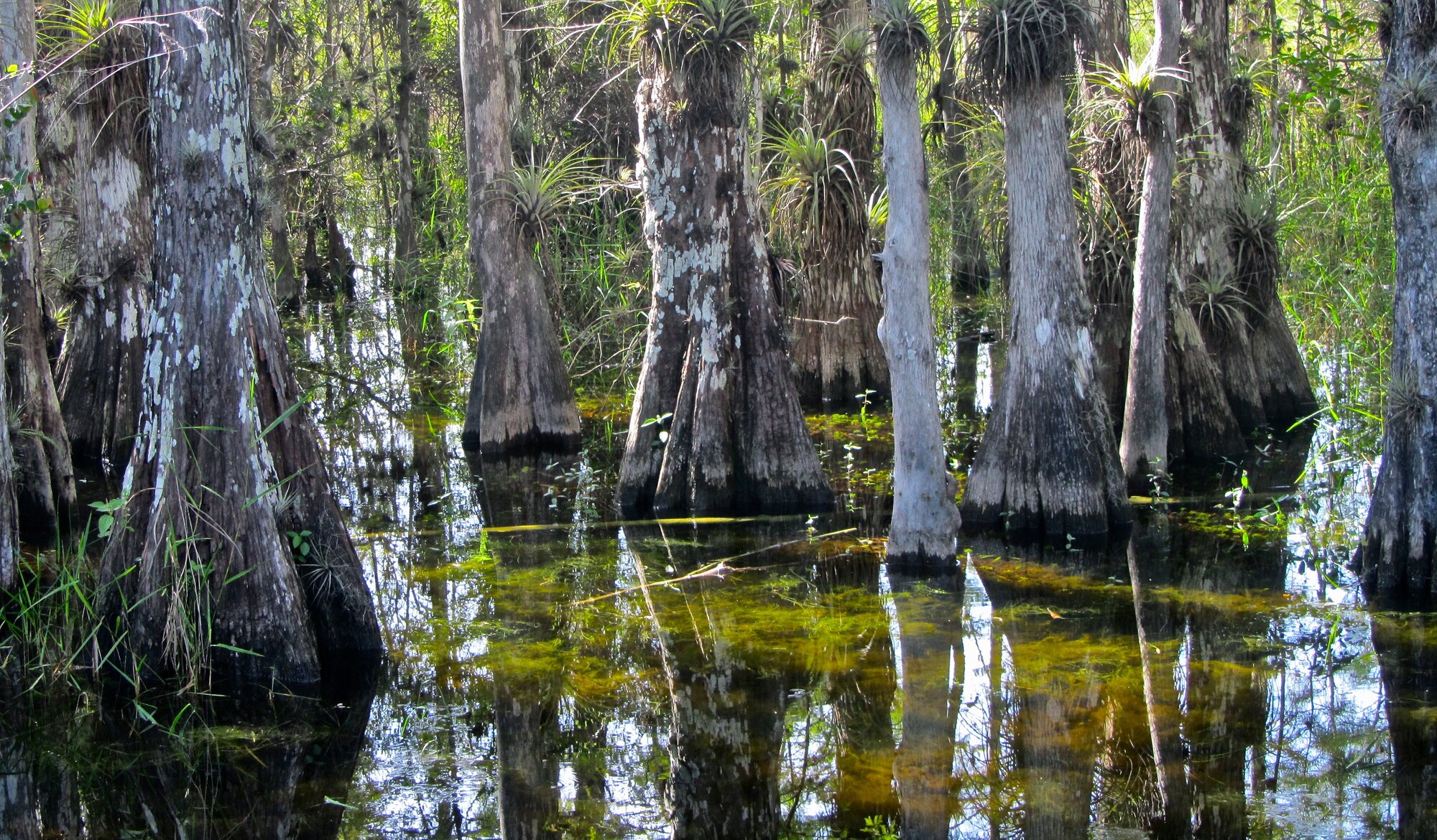
Establish the Miami start, Tamiami Trail identity, Everglades and Big Cypress crossing, and Naples handoff.
Enter with this decision
Leave Miami with a deliberate Tamiami Trail plan rather than treating the crossing as a generic urban departure.
How the road drives
Dense urban start, long wetland crossing, sparse stop pattern, then Gulf Coast re-entry.
Logical stop sequence
Miami → Big Cypress National Preserve → Ochopee → Naples
Reset or overnight choices
Meaningful distinction
Big Cypress visitor and nature sites only when current access is verified
Landscape and history
Tamiami Trail construction · Everglades and Big Cypress landscape · roadside-park and wildlife context
Current checks
Flooding, weather, wildlife, park access, and roadside-facility conditions can change. Treat small roadside stops as optional until access and operating conditions are confirmed.
Place guides for this chapter
Miami · Big Cypress National Preserve
Related trip
Miami to Naples Road Trip on Route 41
Print this chapter: Keep the entry decision, drive rhythm, stops, resets, distinctions, and exit decision together in the matching four-page planner.
Open the driving-chapter PDFChapter 2 of 10
Southwest Florida and Gulf Coast
Connect Naples, Southwest Florida, Charlotte Harbor, Sarasota-Manatee, and the Tampa approach.
Enter with this decision
Choose a coastal-city pacing plan from Naples rather than assuming the entire section is one continuous scenic waterfront road.
How the road drives
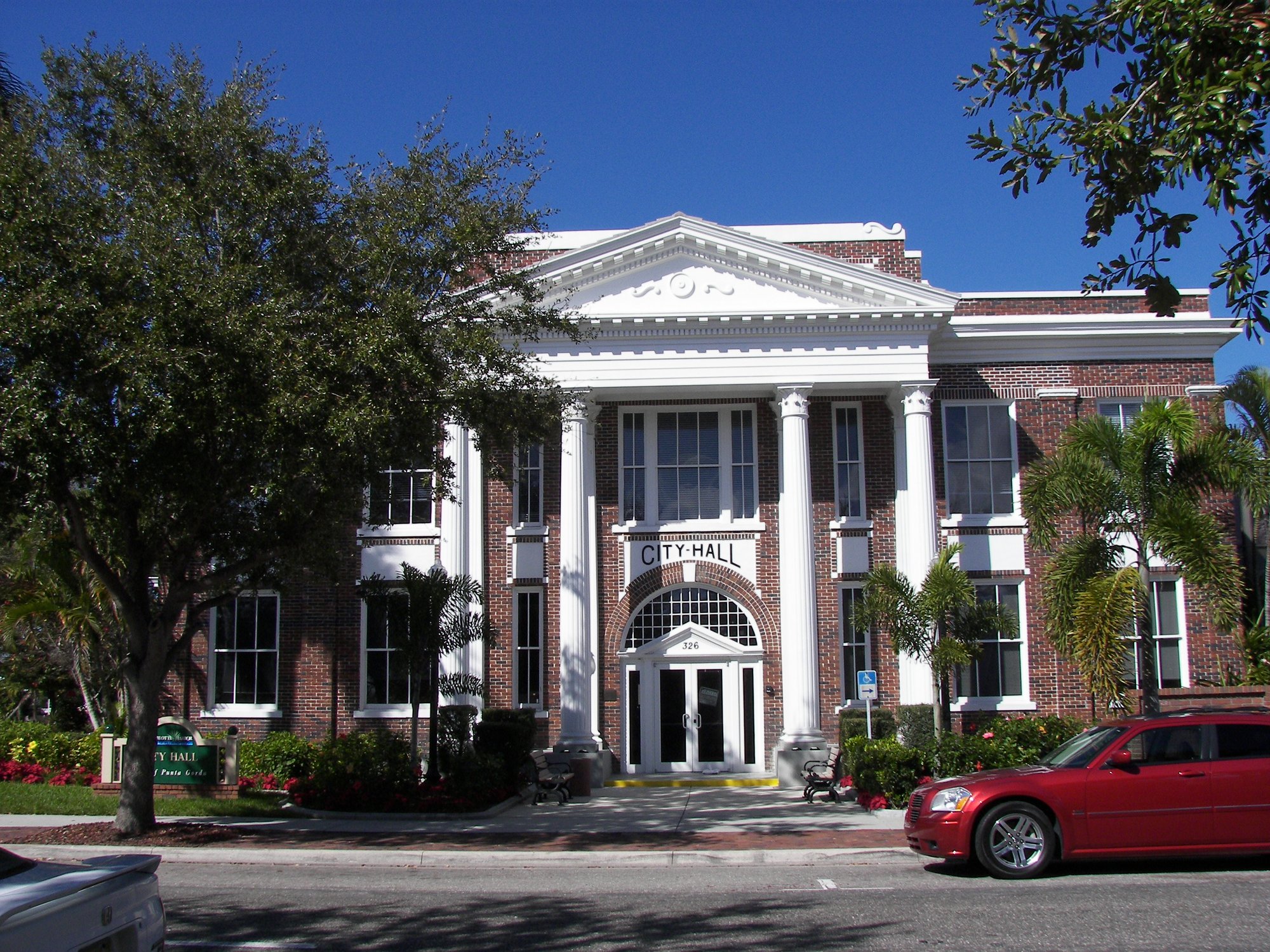
Frequent towns, river and harbor crossings, suburban growth corridors, and repeated downtown or waterfront detour choices.
Logical stop sequence
Naples → Bonita Springs → Fort Myers → Punta Gorda → Venice → Osprey → Sarasota → Bradenton → Palmetto → Tampa
Reset or overnight choices
Naples · Fort Myers · Sarasota · Tampa
Meaningful distinction
Barrier islands, beaches, downtown waterfronts, and parks are destination layers rather than proof of the mainline alignment.
Landscape and history
Gulf Coast road-town growth · Caloosahatchee and Charlotte Harbor crossings · Sarasota-Manatee cultural and waterfront layers
Current checks
Traffic, bridge conditions, beach access, parking, flooding, events, and campground availability can change. Confirm any overnight or park stop directly before relying on it.
Place guides for this chapter
Naples · Bonita Springs · Estero · Fort Myers · Punta Gorda · North Port · Venice · Osprey · Sarasota · Bradenton · Palmetto
Related trip
Naples to Tampa Gulf Coast Run on Route 41 · Scenic Route 41 Coastal Highlights Trip on Route 41 · Route 41 Weekend Gulf Coast Itinerary
Print this chapter: Keep the entry decision, drive rhythm, stops, resets, distinctions, and exit decision together in the matching four-page planner.
Open the driving-chapter PDFChapter 3 of 10
Tampa Bay through North Florida
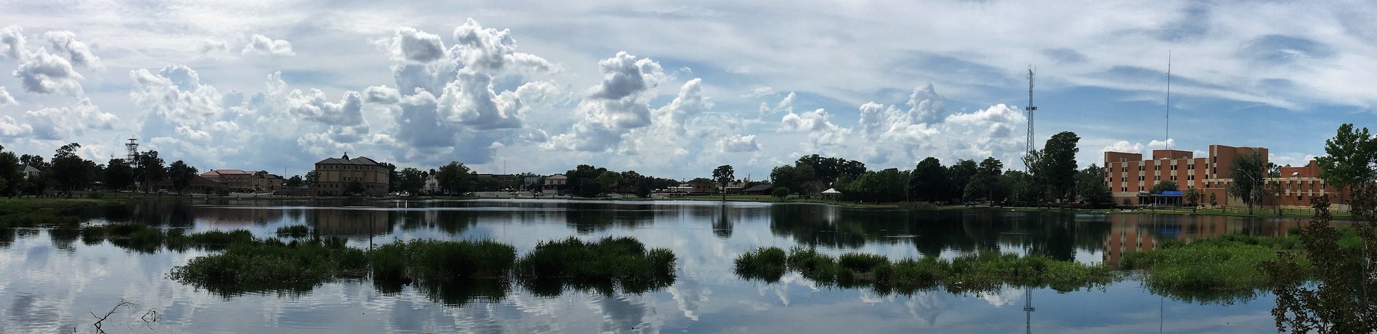
Move from Tampa through inland west-central Florida, springs country, Lake City, and the Georgia border.
Enter with this decision
Leave Tampa prepared for a less coastal, more inland and service-oriented corridor.
How the road drives
Urban departure, suburban and rural inland corridor, springs-country choices, then long borderland pacing.
Logical stop sequence
Tampa → Brooksville → Inverness → High Springs → Lake City → Jasper → Jennings
Reset or overnight choices
Tampa · Brooksville · High Springs · Lake City
Meaningful distinction
Springs, rivers, and parks require deliberate departures and current access checks.
Landscape and history
Inland west-central Florida · springs and river country · North Florida crossroads and borderland
Current checks
Verify park, spring, weather, and construction conditions close to travel. Keep US 41, US 27 Alternate, and local routes explicit where relevant.
Place guides for this chapter
Tampa · Brooksville · Inverness · High Springs · Lake City
Related trip
Tampa to North Florida Corridor Road Trip on Route 41
Print this chapter: Keep the entry decision, drive rhythm, stops, resets, distinctions, and exit decision together in the matching four-page planner.
Open the driving-chapter PDFChapter 4 of 10
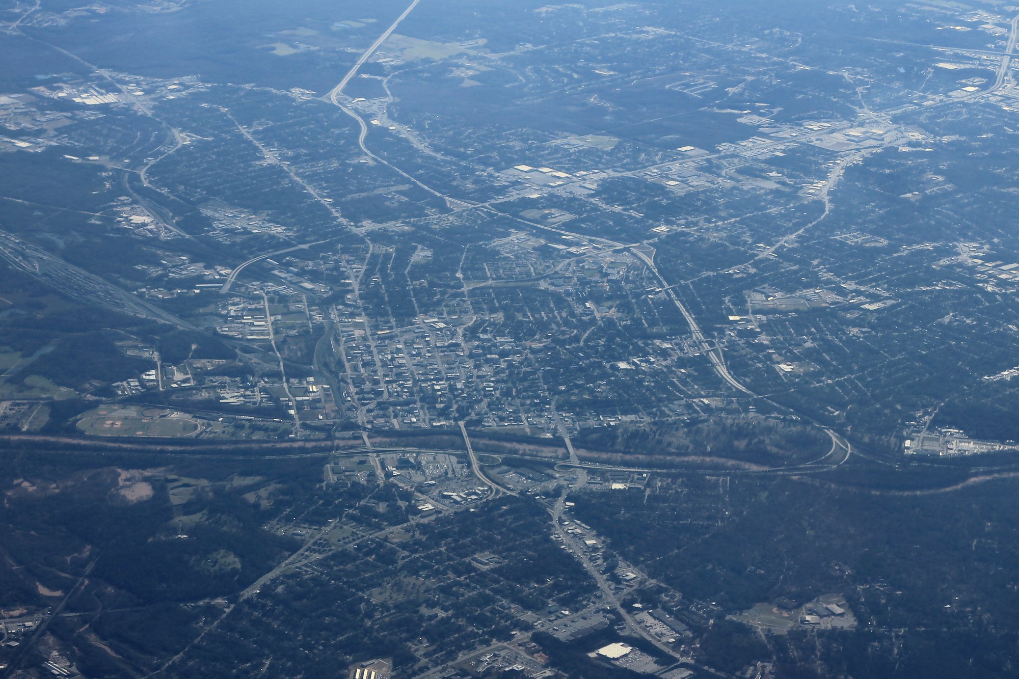
South and Middle Georgia
Establish the Valdosta-to-Macon agricultural, military, rail, and county-seat sequence.
Enter with this decision
Use Valdosta as the Georgia-entry reset and confirm whether the day ends in South Georgia or continues to Macon.
How the road drives
Long inland stretches punctuated by agricultural and county-seat towns, then a stronger Middle Georgia city sequence.
Logical stop sequence
Valdosta → Tifton → Warner Robins → Macon
Reset or overnight choices
Meaningful distinction
Museums, aviation sites, and downtowns require explicit destination framing.
Landscape and history
Agriculture · rail and road towns · military and aviation context · Middle Georgia music and civic history
Current checks
Keep US 41 distinct from I-75. Use support towns for pacing and orientation unless a specific destination is planned.
Interstate bridge
If the day is primarily an I-75 run, use Valdosta and Macon as decision points rather than treating Route 41 as an all-or-nothing commitment. Leave the Interstate when the older road, a town center, a meal, a cultural stop, or an overnight is worth the slower layer; return to I-75 when covering distance becomes the priority again.
Place guides for this chapter
Valdosta · Tifton · Warner Robins · Macon · Forsyth · Byron
Print this chapter: Keep the entry decision, drive rhythm, stops, resets, distinctions, and exit decision together in the matching four-page planner.
Open the driving-chapter PDFChapter 5 of 10
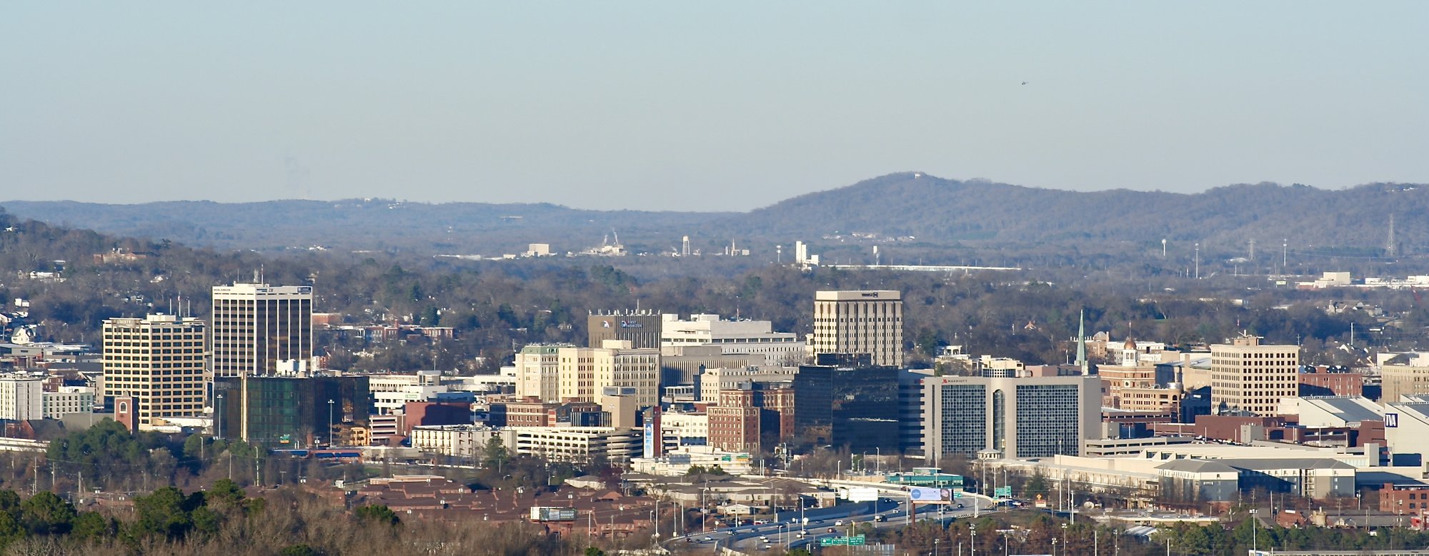
Atlanta and the Tennessee handoff
Handle the Atlanta metropolitan hinge, north Georgia sequence, and Chattanooga entry.
Enter with this decision
Enter the Atlanta region with a clear through-driving or destination plan.
How the road drives
Dense metropolitan corridor, suburban commercial sequence, north Georgia towns, then Tennessee River city entry.
Logical stop sequence
Atlanta → Marietta → Kennesaw → Cartersville → Dalton → Chattanooga
Reset or overnight choices
Atlanta · Dalton · Chattanooga
Meaningful distinction
Downtown Atlanta, museums, parks, and Chattanooga attractions are destination layers with separate access.
Landscape and history
Atlanta metropolitan growth · Cobb Parkway and older highway context · north Georgia ridge-and-valley landscape · Tennessee River city history
Current checks
Traffic and construction are dynamic. Do not substitute parallel interstate routing for the US 41 experience.
Interstate bridge
I-75 is the practical speed layer through much of the Atlanta-to-Chattanooga travel corridor. Use Route 41 when Atlanta, Cobb Parkway, Kennesaw, Cartersville, Dalton, or the older-highway sequence is part of the trip; use I-75 when the next goal is simply to cover ground.
Place guides for this chapter
Print this chapter: Keep the entry decision, drive rhythm, stops, resets, distinctions, and exit decision together in the matching four-page planner.
Open the driving-chapter PDFChapter 6 of 10
Tennessee plateau and city sequence
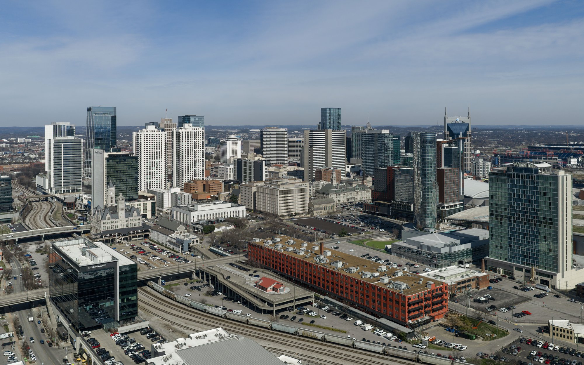
Explain the Monteagle junction, current-US 41 mainline, US 41A branch system, Middle Tennessee, Nashville, and Kentucky approach.
Enter with this decision
At Monteagle, understand the mainline-versus-US 41A decision before following destination pages or signs.
How the road drives
Mountain and plateau transition, smaller-city sequence, major Nashville hinge, then a quieter border approach.
Logical stop sequence
Chattanooga → Monteagle → Murfreesboro → Nashville → Springfield
Reset or overnight choices
Chattanooga · Monteagle · Murfreesboro · Nashville
Meaningful distinction
US 41A branch towns remain useful alternate-route destinations but are not mainline stops.
Landscape and history
Cumberland Plateau crossing · US 41A branch identity · Middle Tennessee city corridor · Nashville capital and music context
Current checks
Do not route the current mainline through Clarksville. Treat Fayetteville as a separate destination unless your chosen alignment and current mapping explicitly take you there.
Place guides for this chapter
Chattanooga · Monteagle · Murfreesboro · Nashville
Print this chapter: Keep the entry decision, drive rhythm, stops, resets, distinctions, and exit decision together in the matching four-page planner.
Open the driving-chapter PDFChapter 7 of 10
Kentucky and Indiana corridor
Connect western Kentucky, the Ohio River crossing, the Wabash Valley, and the Chicago approach.
Enter with this decision
Use Hopkinsville as the Kentucky reset and avoid inflating every small mainline community into a required stop.
How the road drives
Compact Kentucky chapter, major river crossing, long inland Indiana corridor, then dense metropolitan approach.
Logical stop sequence
Hopkinsville → Henderson → Evansville → Vincennes → Terre Haute → Hammond
Reset or overnight choices
Hopkinsville · Henderson · Evansville · Vincennes · Terre Haute · Hammond
Meaningful distinction
Historic districts, riverfronts, and county-seat destinations require deliberate departures.
Landscape and history
Western Kentucky road towns · Ohio River crossing · Wabash Valley history · industrial Chicago approach
Current checks
Earlington, Mortons Gap, and Robards can add local context without becoming required stops in the chapter sequence. Re-check bridge, construction, and metro conditions close to travel.
Place guides for this chapter
Hopkinsville · Henderson · Evansville · Vincennes · Terre Haute · Earlington · Mortons Gap · Robards
Print this chapter: Keep the entry decision, drive rhythm, stops, resets, distinctions, and exit decision together in the matching four-page planner.
Open the driving-chapter PDFChapter 8 of 10
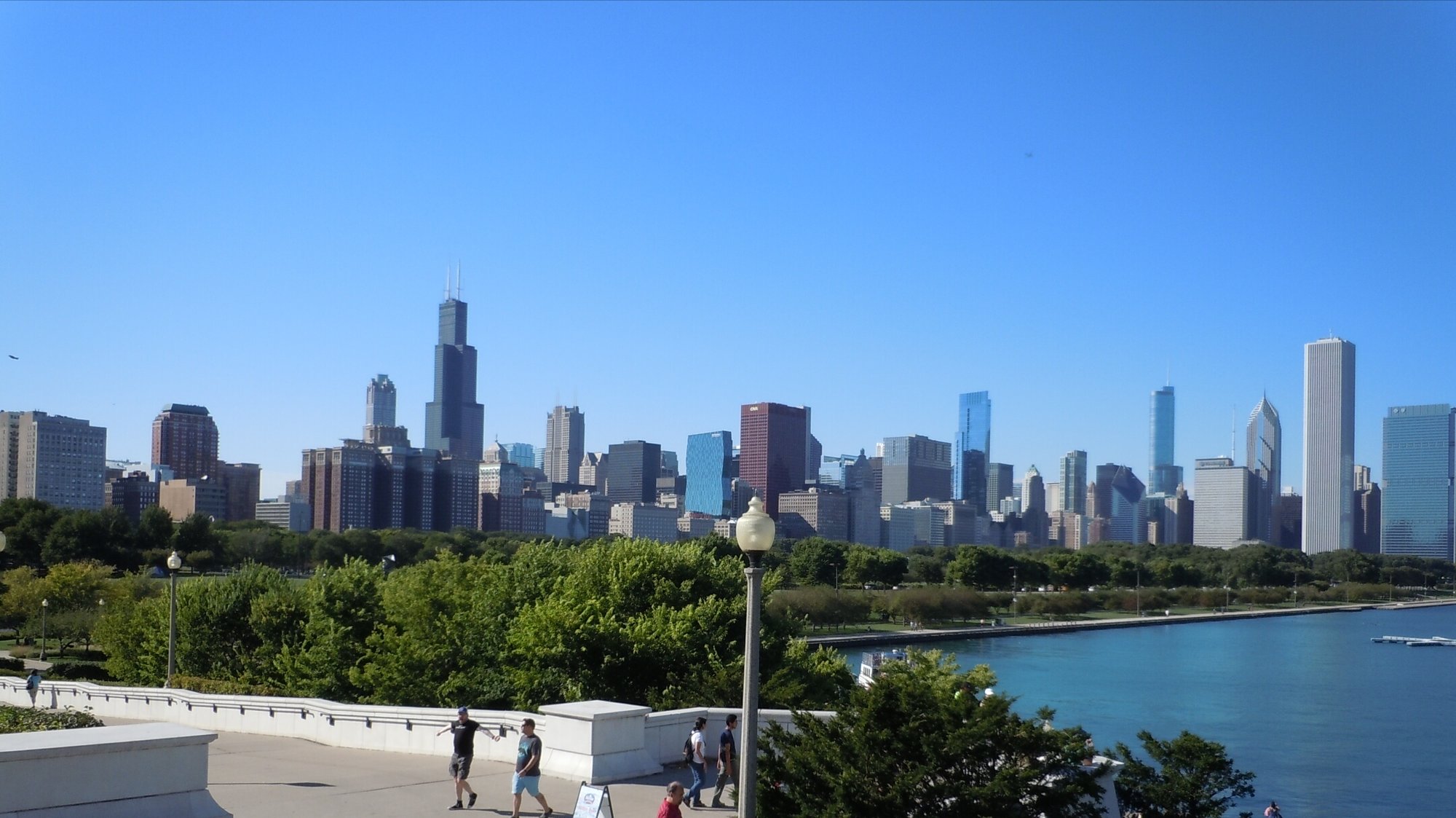
Chicago Southland and lakefront
Handle Hammond, Chicago, the lakefront metropolitan hinge, and the North Shore transition.
Enter with this decision
Enter Chicago with a destination, traffic, parking, and timing plan.
How the road drives
Industrial and urban approach, dense lakefront metro, then north-shore transition.
Logical stop sequence
Reset or overnight choices
Meaningful distinction
Evanston and Zion are deliberate lakefront detours; Waukegan remains corridor support outside ordered spine.
Landscape and history
Industrial Southland · Chicago lakefront and urban route history · North Shore municipal context
Current checks
Parking, congestion, events, and construction are dynamic. Blue Island, Calumet City, Dolton, and Oak Lawn must not be presented as current-US 41 mainline.
Place guides for this chapter
Hammond · Chicago · Evanston · Waukegan · Zion
Related trip
Chicago to Copper Harbor Road Trip on Route 41
Print this chapter: Keep the entry decision, drive rhythm, stops, resets, distinctions, and exit decision together in the matching four-page planner.
Open the driving-chapter PDFChapter 9 of 10
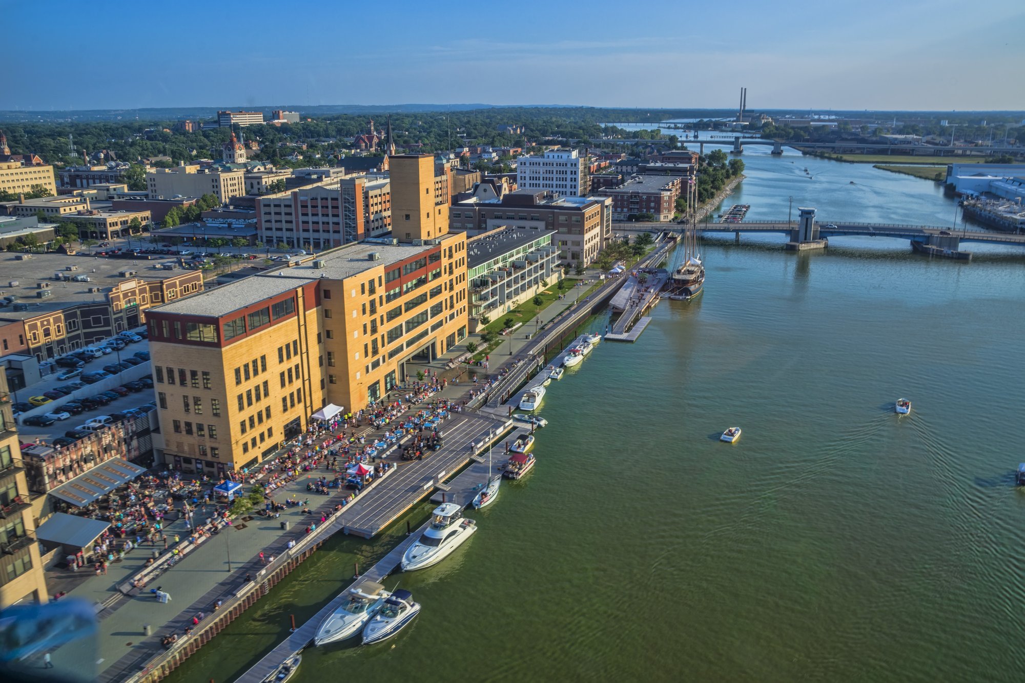
Wisconsin lakefront and Fox Valley
Connect Wisconsin entry, Milwaukee, Lake Winnebago, Fox Valley, Green Bay, and Marinette.
Enter with this decision
Choose whether Kenosha and Racine are freeway pacing points or separate lakefront-city destinations.
How the road drives
Freeway-based metro corridor, lake and river city sequence, then a longer northeastern Wisconsin run.
Logical stop sequence
Kenosha → Milwaukee → Fond du Lac → Oshkosh → Appleton → Green Bay → Marinette
Reset or overnight choices
Milwaukee · Oshkosh · Appleton · Green Bay · Marinette
Meaningful distinction
Downtown lakefronts, Fox River districts, and waterfronts are destination layers outside uninterrupted freeway travel.
Landscape and history
Lake Michigan port cities · freeway evolution · Lake Winnebago · Fox River industry · Green Bay and northeastern Wisconsin
Current checks
Construction and lane conditions can change. Keep lakefront and downtown destinations separate from the through-route sequence unless you deliberately leave the main corridor.
Interstate bridge
I-41 is the through-driving layer across much of this Wisconsin chapter. The road-trip value comes from deciding when Milwaukee, Lake Winnebago, Appleton/Fox Valley, De Pere, Green Bay, or a riverfront or lakefront destination earns a deliberate departure from uninterrupted freeway travel.
Place guides for this chapter
Kenosha · Milwaukee · Fond du Lac · Oshkosh · Appleton · Green Bay · De Pere · Franklin · Little Chute · Lomira · Neenah · Oak Creek
Related trip
Chicago to Copper Harbor Road Trip on Route 41
Print this chapter: Keep the entry decision, drive rhythm, stops, resets, distinctions, and exit decision together in the matching four-page planner.
Open the driving-chapter PDFChapter 10 of 10
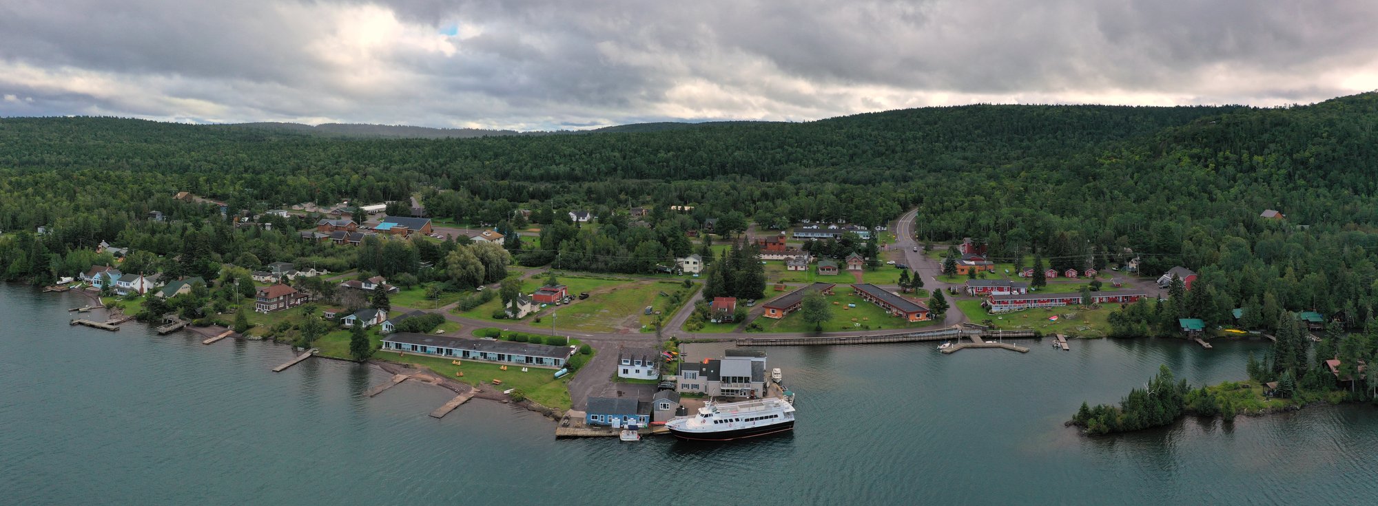
Upper Peninsula finish
Carry the route from Menominee through Escanaba, Marquette, Keweenaw Bay, Houghton-Hancock, and Copper Harbor.
Enter with this decision
Enter Michigan with fuel, weather, daylight, and overnight planning appropriate to longer Upper Peninsula distances.
How the road drives
Long shoreline and forest sections, major reset cities, a paired-city bridge hinge, then a remote final approach.
Logical stop sequence
Menominee → Escanaba → Marquette → L Anse → Houghton → Hancock → Calumet → Copper Harbor
Reset or overnight choices
Menominee · Escanaba · Marquette · Houghton · Hancock · Copper Harbor
Meaningful distinction
Downtowns, waterfronts, tribal and heritage sites, parks, lighthouses, and Brockway Mountain remain separate destination layers.
Landscape and history
Upper Peninsula shoreline and forest · Lake Superior · Keweenaw Bay Indian Community and Keweenaw Bay · Portage Lake bridge · copper-country heritage
Current checks
Weather, snow, ice, seasonal roads, bridge operations, lodging, fuel, park operations, and roadside-facility availability are dynamic. Verify the northern finish directly before travel.
Place guides for this chapter
Related trip
Chicago to Copper Harbor Road Trip on Route 41
Print this chapter: Keep the entry decision, drive rhythm, stops, resets, distinctions, and exit decision together in the matching four-page planner.
Open the driving-chapter PDF