Major anchor place
Menominee at a glance
Menominee is Route 41's Michigan entry anchor and the north half of the Marinette-Menominee paired-city border transition. US 41 crosses the Menominee River from Wisconsin, serves as Menominee's major through corridor, and continues toward Escanaba and Marquette. The city’s historic waterfront, downtown, marina, lighthouse, parks, beaches, campground, and M-35 shoreline option are separate destination or route decisions rather than one uninterrupted US 41 waterfront experience.
Northbound, cross from Marinette into Menominee, orient to Michigan and Upper Peninsula conditions, then decide whether to stop locally or continue the longer US 41 run toward Escanaba.
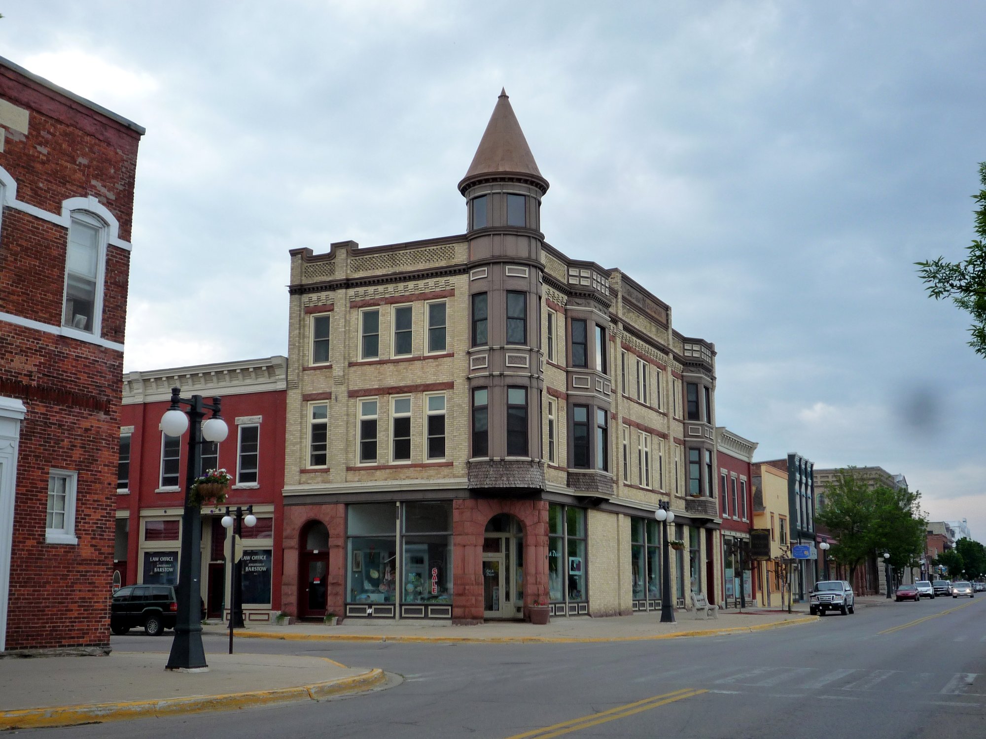
How to use Menominee on Route 41
1 · Planning cue
Choose the stop role first
Northbound, cross from Marinette into Menominee, orient to Michigan and Upper Peninsula conditions, then decide whether to stop locally or continue the longer US 41 run toward Escanaba.
2 · Planning cue
Use direction to shape the stop
Southbound, use Menominee as the final Michigan orientation point before the state-line bridge and Wisconsin re-entry at Marinette.
3 · Planning cue
Keep the route and destination layers distinct
Keep US 41, M-35, the bridge, local streets, downtown, the marina, lighthouse, parks, beaches, and waterfront access distinct.
Route relationship
The Interstate Bridge brings current US 41 across the Menominee River from Marinette and into Menominee, where the route continues toward Escanaba. M-35 is a separate Michigan trunkline and shoreline choice, not an interchangeable route identity. Downtown, the historic waterfront, and the Green Bay shoreline are separate local layers.
Why the place matters
Menominee is the Michigan side of the paired-city transition and the beginning of the Upper Peninsula chapter. It is where a traveler can orient to Michigan conditions, decide on services or an overnight, and separate the through-drive from deliberately planned city or waterfront time.
Northbound and southbound use
Northbound, cross from Marinette, orient to Michigan and Upper Peninsula conditions, then choose services, an overnight, or local time before preparing for the longer run toward Escanaba. Keep waterfront choices separate from through-driving.
Southbound, Menominee is the final Michigan orientation and service decision before the bridge and Wisconsin re-entry. Separate shoreline or marina time from the state-line route task.
Through-route versus local destinations
US 41 and the bridge are the route layer. M-35, downtown, the historic waterfront, marina, lighthouse, parks, beaches, campground, the Menominee River, Green Bay shoreline, and county-scale recreation are distinct choices with their own access and timing needs.
Planning weight
Menominee can support an entry reset, an overnight, or one focused local destination layer. It is most useful as an Upper Peninsula orientation point, not as an assumption that all waterfront or shoreline options fit into a through-route stop.
Practical route utility
Weather, daylight, winter travel, bridge conditions, construction, marina and campground operations, parks, beaches, events, fuel, food, lodging, and business operations change. Confirm current official information before relying on a particular route or facility plan.
Route layers to use from Menominee
Use these pages to move from the stop-level decision back to the state chapter, the connected trip shape, and the wider Route 41 corridor.
State context
Michigan
Use the state gateway when you need the larger corridor sequence, branch distinctions, and the next cross-state handoff.
Connected trip
Chicago to Copper Harbor
Use the Wisconsin and Upper Peninsula trip frame for the northern finish.
Whole corridor
Route 41 overview
Zoom out when this stop needs to be compared with the full Miami-to-Copper Harbor road sequence.
Nearby route handoff
Marinette
Open the nearby place guide when the next decision is where to pause, reset, or continue on the corridor.
Related existing pages
- Marinette for the Wisconsin side of the border transition.
- Escanaba as the next northbound public page.
- Upper Peninsula finish in the Route Overview for chapter context.
- Browse all places for other Route 41 planning pages.