On-route place guide
Lomira on Route 41 Road Trip
Lomira as I-41-adjacent rural support before the Lake Winnebago sequence.
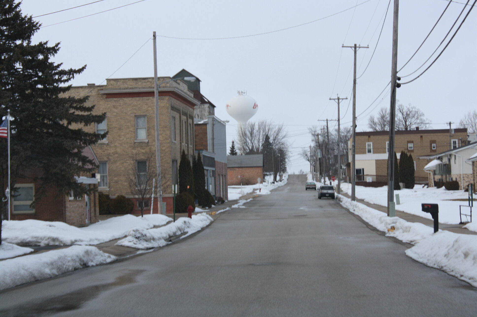
Rural pacing support
At a glance
Lomira is verified I-41-adjacent rural support: a proportionate services and pacing node on the transition toward Fond du Lac and Lake Winnebago.
Route relationship
I-41 is the through-route here. WIS 49, WIS 175, village streets, interchange services, and rural destinations are separate layers around it.
Why the place matters
Lomira gives the drive a smaller-scale decision between the Milwaukee metro and the Lake Winnebago sequence. It is most useful for keeping the day paced rather than for building a destination-heavy stop.
Northbound and southbound use
Northbound, use Lomira to settle into the rural transition before Fond du Lac and Lake Winnebago. Southbound, it can be a measured reset before the Milwaukee freeway system.
Freeway versus local-destination choices
Keep I-41 travel separate from WIS 49, WIS 175, village streets, and rural destinations. A brief local stop should serve the drive, not redefine it.
Planning weight
Lomira deserves a proportionate place in the itinerary: a brief reset, food, fuel, or orientation when useful. It is not a major destination.
Practical controls
Fuel, food, parking, construction, and business availability are dynamic. Check current information before relying on a specific stop.
Related existing pages
- Milwaukee for the preceding metropolitan decision.
- Wisconsin and Fox Valley on the route overview for the Lake Winnebago and Fox Valley chapter.
- Browse all places for other existing Route41 planning pages.