Major anchor place
Punta Gorda at a glance
Punta Gorda is the walkable Charlotte Harbor anchor where Route 41 crosses the Peace River and the trip can shift from urban mileage to a compact waterfront reset. Its downtown, Harborwalk, parks, dining, and overnight options are close enough to justify a deliberate stop without city-scale overhead.
Use Punta Gorda as the calmer overnight or long pause between Fort Myers and the Port Charlotte/North Port corridor.
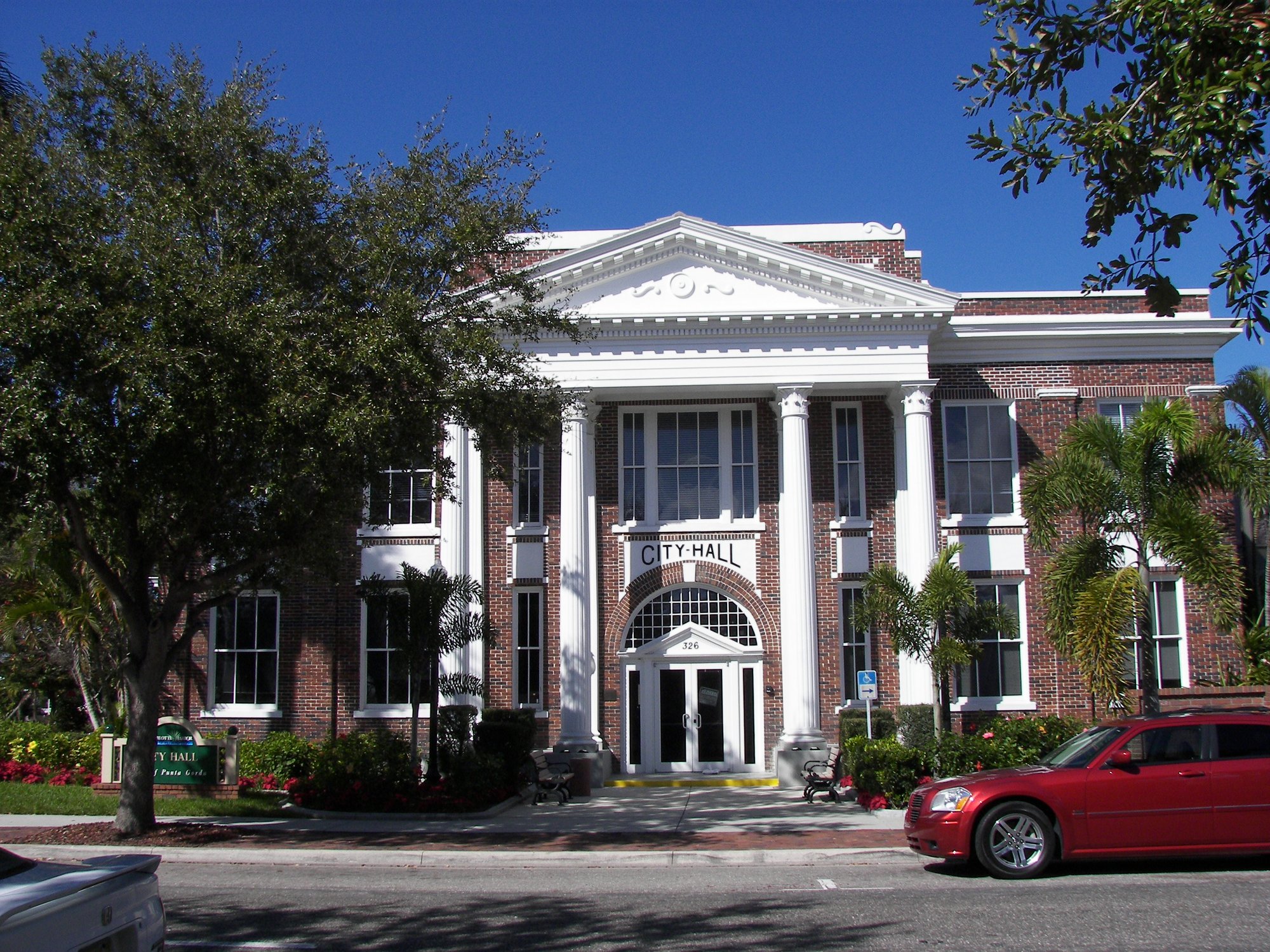
How to use Punta Gorda on Route 41
1 · Planning cue
Choose the stop role first
Use Punta Gorda as the calmer overnight or long pause between Fort Myers and the Port Charlotte/North Port corridor.
2 · Planning cue
Use direction to shape the stop
Northbound, let the bridge crossing and harbor arrival mark the shift into Charlotte County before the route becomes a long service corridor through Port Charlotte.
3 · Planning cue
Keep the route and destination layers distinct
Southbound, use Punta Gorda as the final compact harbor reset before Fort Myers and the denser Lee County stretch.
Why Punta Gorda matters on Route 41
Route 41 crosses the Peace River at Punta Gorda, where Charlotte Harbor and a compact waterfront downtown give the Gulf Coast drive a clear change of pace. The city is also more than a stop between Fort Myers and North Port: it is the junction where the northbound Route 17 journey begins.
That makes Punta Gorda a real road-trip decision point. The traveler can stay and explore locally, continue north toward North Port and Sarasota, continue south toward Fort Myers, Naples, and Miami, or turn inland toward Arcadia on Route 17.
Choose what happens at the crossroads
Stop and explore
Use Punta Gorda as the harbor stay
Choose the stop when the route needs a calmer overnight, a walkable waterfront reset, or enough time to let Charlotte Harbor become part of the trip instead of only scenery from the crossing.
Plan Punta Gorda with Easy Sun Coast when the next question is what to do after arrival, including Harborwalk, downtown, parks, food, wildlife, and half-day or full-day local plans.
Turn inland
Begin Route 17 from Punta Gorda
Choose Route 17 when Punta Gorda is the beginning rather than the destination. The road leaves the harbor setting and moves toward Arcadia, Peace River country, and the smaller inland towns that define the first northbound chapter.
Use Route17RoadTrip's Punta Gorda launch guide for the first overnight, trip preparation, departure timing, and the transition toward Arcadia.
Continue on Route 41
Northbound
Cross the river and follow the Suncoast corridor
Northbound, the Peace River crossing leads into Port Charlotte's practical corridor, North Port, Venice, and Sarasota. Use Punta Gorda as the reset before the route becomes longer, more signalized, and increasingly tied to the Sarasota-area city sequence.
Southbound
Follow Route 41 toward Fort Myers and Miami
Southbound, Punta Gorda is the final compact harbor pause before Fort Myers, Naples, the Tamiami Trail wetlands chapter, and Miami. Decide here whether the day needs a stay or enough daylight for a longer southern leg.
Planning weight
Punta Gorda works best as a crossroads overnight or a deliberate long pause. It can also be a shorter river-and-harbor reset, but the stop becomes more valuable when the traveler has time to walk, eat, and make the next route choice without rushing.
The Route 41 job is to settle the sequence: stop, continue north, continue south, or turn inland. Easy Sun Coast owns the deeper destination plan, while Route17RoadTrip owns the launch into inland Florida.
Mainline versus local destination
The Peace River crossing and Route 41 corridor remain the mainline. Downtown, Harborwalk, parks, marinas, and waterfront experiences are intentional local moves rather than required highway stops. Port Charlotte is the complementary services corridor; Punta Gorda carries the stronger walking, harbor, overnight, and junction identity.
Practical route utility
Bridge, intersection, harbor, traffic, and weather conditions can reshape the timing of the crossing. Verify current local details before travel, especially when the plan depends on a waterfront activity or a same-day turn onto Route 17.
Route layers to use from Punta Gorda
Use these pages to move from the stop-level decision back to the state chapter, the connected trip shape, and the wider Route 41 corridor.
State context
Florida
Use the state gateway when you need the larger corridor sequence, branch distinctions, and the next cross-state handoff.
Connected trip
Naples to Tampa
Use the Gulf Coast trip frame for the city-to-city sequence north of Naples.
Whole corridor
Route 41 overview
Zoom out when this stop needs to be compared with the full Miami-to-Copper Harbor road sequence.
Nearby route handoff
Fort Myers
Open the nearby place guide when the next decision is where to pause, reset, or continue on the corridor.
Related Route 41 pages
Use the Miami-to-Punta-Gorda flagship drive for the full city-to-harbor sequence, the Southwest Florida and Gulf Coast route overview for the wider corridor, or compare Punta Gorda with the larger city reset in Fort Myers. You can also browse Route 41 places.