Route support stop
North Port at a glance
North Port is the long inland Route 41 growth-corridor anchor between Port Charlotte and Venice. Its immediate mainline value is practical—food, fuel, errands, and a lower-overhead reset—while Warm Mineral Springs, Myakkahatchee Creek, blueways, and preserves provide distinctive optional detours beyond the commercial strip.
Use North Port as a practical anchor when the day needs services, a meal, errands, or an easy inland reset rather than another waterfront stop.
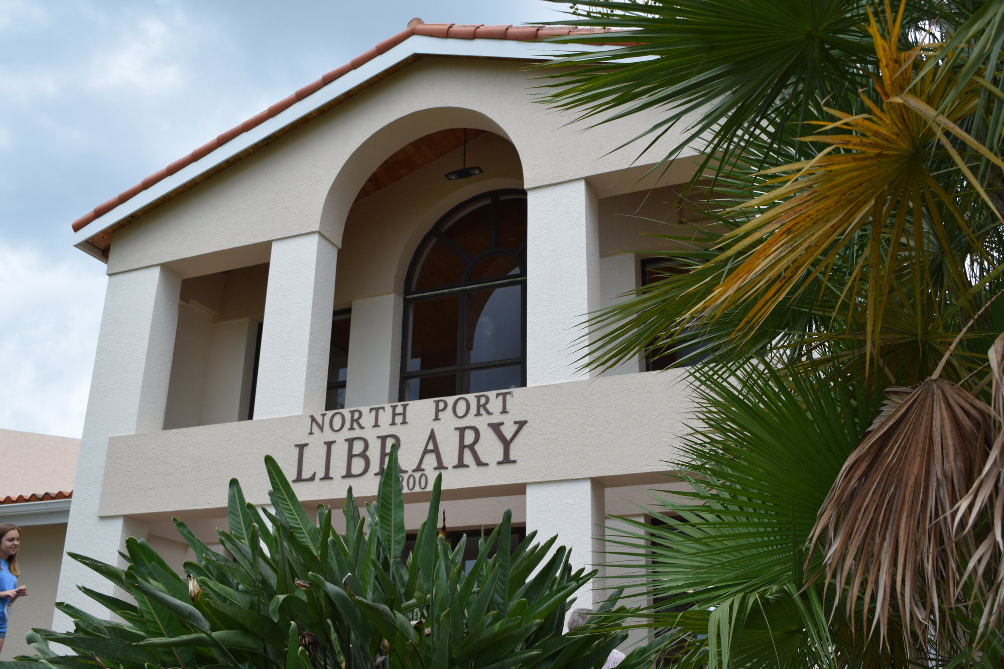
How to use North Port on Route 41
1 · Planning cue
Choose the stop role first
Use North Port as a practical anchor when the day needs services, a meal, errands, or an easy inland reset rather than another waterfront stop.
2 · Planning cue
Use direction to shape the stop
Treat Warm Mineral Springs, Myakkahatchee Creek, Marina Park, and other natural assets as intentional detours; they are not all directly on the Route 41 through-line.
3 · Planning cue
Keep the route and destination layers distinct
Northbound, North Port is the final long service corridor before the route shifts toward Venice and the Sarasota County coastal-city sequence.
Why this place matters on Route 41
North Port keeps the Gulf Coast chapter honest. The long, signalized Tamiami Trail corridor is part of the real driving experience between Port Charlotte and Venice, offering food, fuel, errands, and a lower-overhead reset between stronger waterfront and cultural anchors.
Its Route 41 value is not a postcard center. North Port is the place where a traveler can solve a practical need, choose a deliberate inland activity, or keep moving without forcing every Suncoast stop to become a beach or downtown day.
Northbound and southbound use
Northbound, North Port is the final long service corridor before the route shifts toward Venice and Sarasota. Southbound, it is the first broad inland support zone before Port Charlotte, Punta Gorda, and the Peace River crossing.
Planning weight
Use North Port when the day needs a meal, services, errands, or one clear inland pause. It is geographically large rather than one compact walkable center, so a specific stop makes more sense than a general destination plan.
A springs visit, trail, park, or sports outing can justify leaving the commercial corridor, but the route works best when the traveler chooses that job in advance rather than searching for a town center after arrival.
Mainline versus local destinations
US 41/Tamiami Trail is the mainline. Warm Mineral Springs, Myakkahatchee Creek, Marina Park, preserves, trails, and sports venues are optional local choices; select one only when the itinerary allows time away from the commercial strip.
Choose one local lane
Use Easy Sun Coast after North Port earns a stop.
Route41RoadTrip owns North Port's position in the drive: the practical inland corridor between Punta Gorda and Sarasota and the decision to stop or continue. Easy Sun Coast owns the local outing choice, including springs, trails, parks, spring-training energy, and visitor-first town guidance.
Choose a North Port outing with Easy Sun Coast. For North Port Estates, land, utilities, and property fit rather than visitor planning, use Tropicaire Blvd.
Practical route utility
The corridor is signalized and spread out, so decide on the stop before leaving the highway rhythm. Verify current conditions before relying on a spring, park, trail, game, or water-access plan.
Route layers to use from North Port
Use these pages to move from the stop-level decision back to the state chapter, the connected trip shape, and the wider Route 41 corridor.
State context
Florida
Use the state gateway when you need the larger corridor sequence, branch distinctions, and the next cross-state handoff.
Connected trip
Naples to Tampa
Use the Gulf Coast trip frame for the city-to-city sequence north of Naples.
Whole corridor
Route 41 overview
Zoom out when this stop needs to be compared with the full Miami-to-Copper Harbor road sequence.
Nearby route handoff
Punta Gorda
Open the nearby place guide when the next decision is where to pause, reset, or continue on the corridor.
Related Route 41 pages
Use Punta Gorda for the harbor crossroads, Sarasota for the larger cultural and overnight anchor, or the Southwest Florida and Gulf Coast route overview for the wider sequence.