Major anchor place
Sarasota at a glance
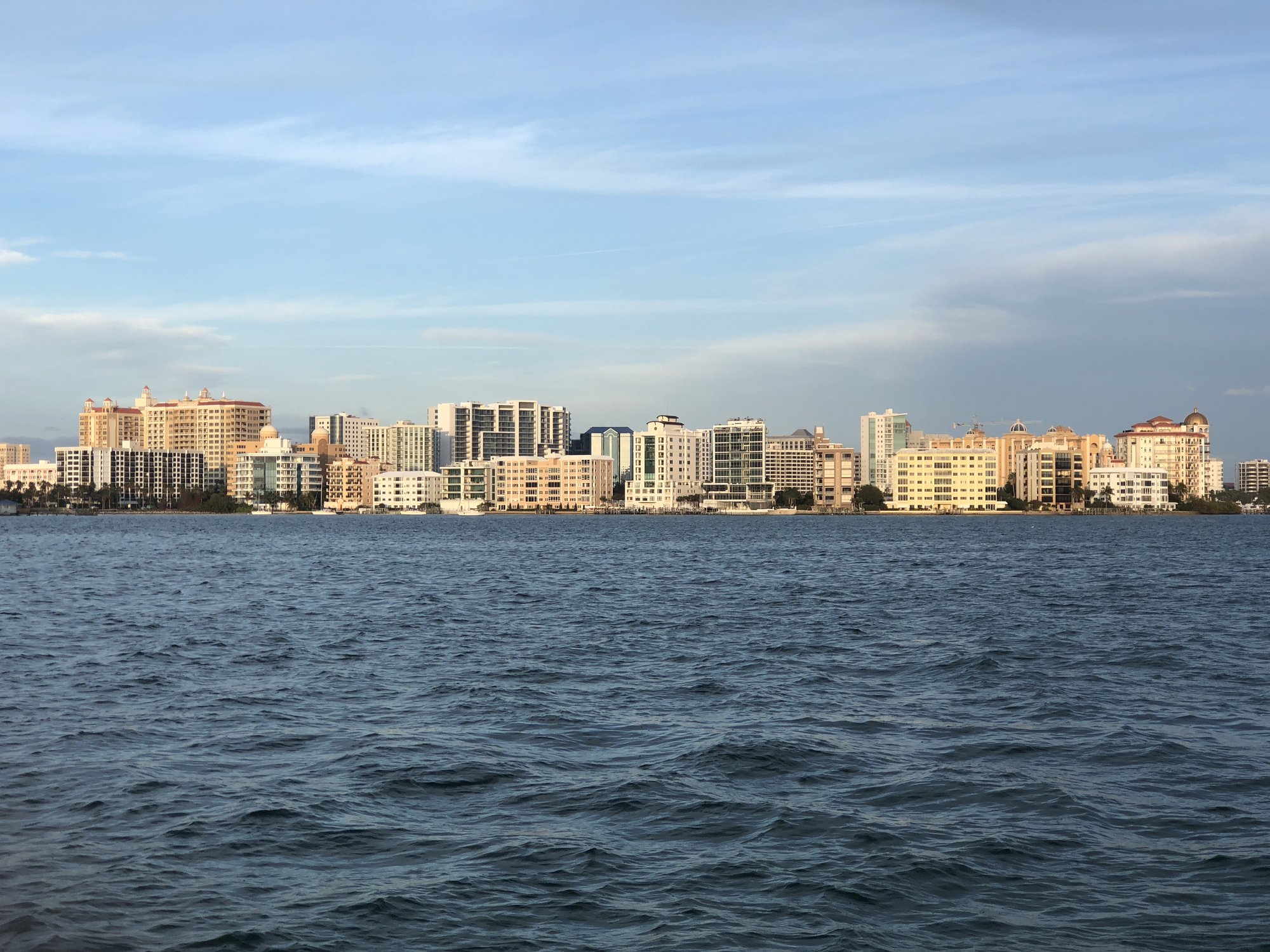
Sarasota is the cultural and urban anchor of the central Gulf Coast Route 41 chapter. Tamiami Trail carries the traveler through a long signalized city corridor near museums, neighborhoods, the bayfront, and downtown, while Siesta Key, Lido Key, and other beach experiences require separate barrier-island detours. The strongest Route 41 use is a chosen culture, bayfront, food, or overnight plan—not an attempt to treat every Sarasota attraction as a roadside stop.
Use Sarasota as the chapter’s strongest culture, food, and overnight anchor rather than as a quick beach pull-off.
How to use Sarasota on Route 41
1 · Planning cue
Choose the stop role first
Use Sarasota as the chapter’s strongest culture, food, and overnight anchor rather than as a quick beach pull-off.
2 · Planning cue
Use direction to shape the stop
Keep the Tamiami Trail corridor, downtown/bayfront, The Ringling, and barrier-island beaches as distinct choices with different time costs.
3 · Planning cue
Keep the route and destination layers distinct
Northbound, Sarasota follows the Venice/Osprey sequence and leads toward Bradenton, Palmetto, and the Manatee River crossing.
Why this place matters on Route 41
US 41/Tamiami Trail carries the route through a long, signalized urban corridor near museums, neighborhoods, downtown, and Sarasota Bay. Sarasota is the chapter’s strongest culture, food, and overnight decision, not a generic city break.
This is where the northbound Gulf Coast drive becomes a larger city sequence. The traveler should decide whether Sarasota is the day’s destination, a single chosen local stop, or a through-corridor before continuing toward Bradenton and the Manatee River.
Northbound and southbound use
Northbound, Sarasota follows Venice and Osprey and leads toward Bradenton, Palmetto, and the Manatee River crossing. Southbound, it is the last large cultural and urban anchor before Venice, North Port, and Charlotte Harbor.
Planning weight
Sarasota rewards one clear objective. A downtown meal, bayfront time, The Ringling, another cultural stop, or an overnight can fit the Route 41 job; attempting all of them at once can turn a useful stop into a rushed one.
Treat the stop as a decision before entering the dense corridor. If Sarasota is only a passage north or south, protect the driving day. If it is the destination, give the city enough time to justify leaving the mainline.
Mainline versus local destinations
Tamiami Trail is the corridor. Downtown, the bayfront, museums, gardens, and barrier-island beaches are distinct local choices. The Ringling belongs in the plan when it is the selected cultural objective, not as a reason to make every Sarasota stop a museum day.
Destination handoff
Choose Sarasota's role here. Build the city day with Easy Sun Coast.
Route41RoadTrip owns the route decision: stop, stay overnight, or continue through the Sarasota corridor toward Bradenton or North Port. Easy Sun Coast owns the destination after that choice, including bayfront time, arts, gardens, museums, food, markets, and complete local outing ideas.
Plan Sarasota with Easy Sun Coast when the next question is what should anchor the city day.
Practical route utility
Short map distances on the urban corridor can take longer than expected. Keep beach, bridge, weather, and waterfront plans flexible and check current conditions close to travel. Continue north to Bradenton, south toward North Port, or use the Southwest Florida and Gulf Coast route overview.
Route layers to use from Sarasota
Use these pages to move from the stop-level decision back to the state chapter, the connected trip shape, and the wider Route 41 corridor.
State context
Florida
Use the state gateway when you need the larger corridor sequence, branch distinctions, and the next cross-state handoff.
Connected trip
Naples to Tampa
Use the Gulf Coast trip frame for the city-to-city sequence north of Naples.
Whole corridor
Route 41 overview
Zoom out when this stop needs to be compared with the full Miami-to-Copper Harbor road sequence.
Nearby route handoff
Bradenton
Open the nearby place guide when the next decision is where to pause, reset, or continue on the corridor.
Related Route 41 pages
For the next river-city decision, see Bradenton; for the inland support corridor, see North Port; or browse Route 41 places.