Scenic day
Scenic Route 41 Coastal Highlights Trip on Route 41
This trip is for travelers who want the road itself to stay visible. It starts in Miami, uses the Tamiami Trail as the signature middle, and finishes in Sarasota after the coast has done enough work to feel memorable.
Use this page when you want the most visual stretch of Route 41 without pushing all the way to Tampa.
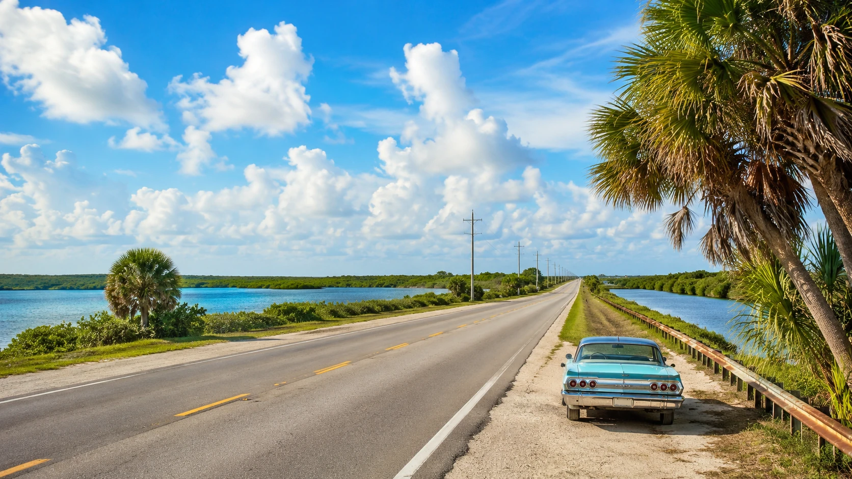
Scenic route guide
Use this page when the best Route 41 day is the one with the strongest views and the fewest unnecessary stops.
The scenic version is not trying to cover everything. It lets Miami launch the day, keeps the wetlands and Gulf Coast in frame, and lets Sarasota end the trip on a calm, walkable note.
If the day needs to end earlier, Naples or Fort Myers can serve as the fallback finish.
Trip shape
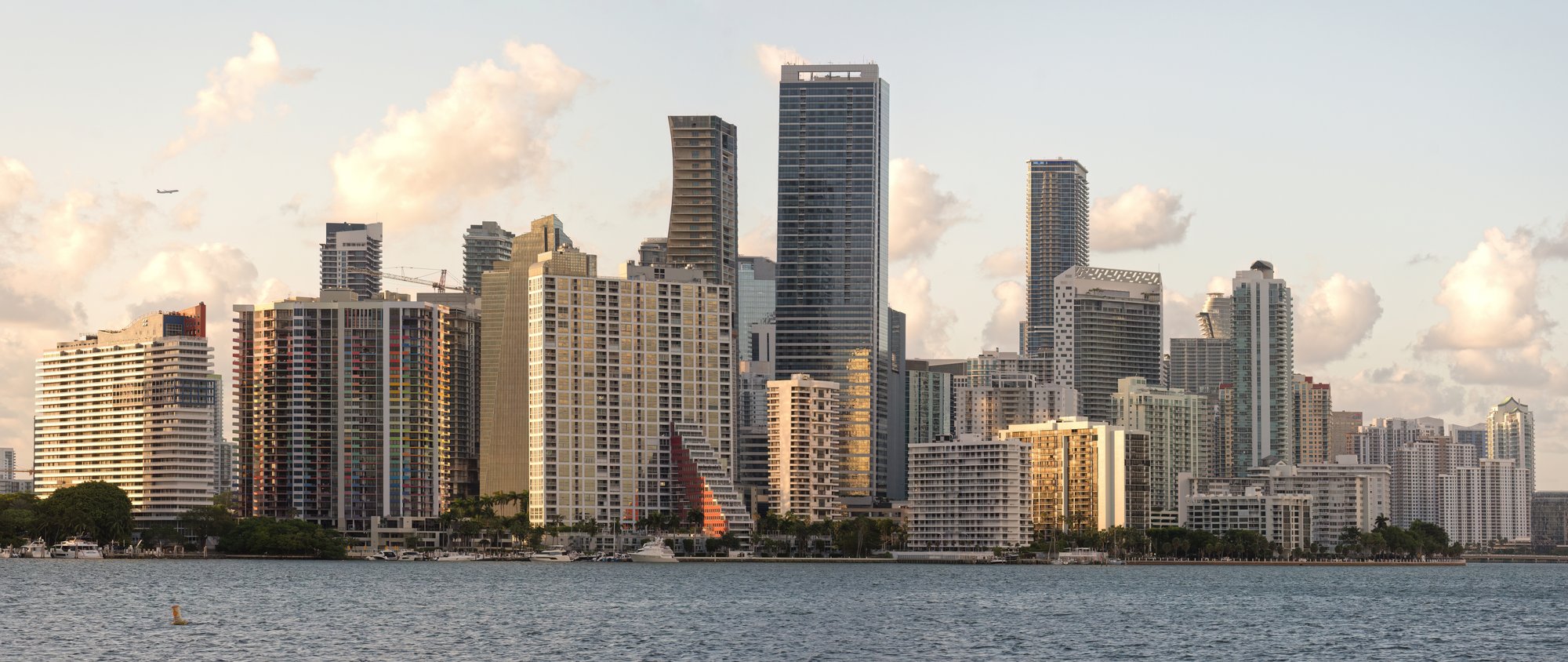
Start
Miami
Start in Miami when you want the trip to feel fully southern from the first block, with enough city services to make the later coast stretch simple.
- Best start: leave with the day already planned.
Middle
Tamiami Trail, Naples, and Fort Myers
Keep the scenic middle focused on the road shift itself: Miami to wetlands, wetlands to Naples, then Naples to Fort Myers before the coast settles into a slower rhythm.
- Best middle: one scenic transition, one Gulf reset, one clear decision about how far to keep going.
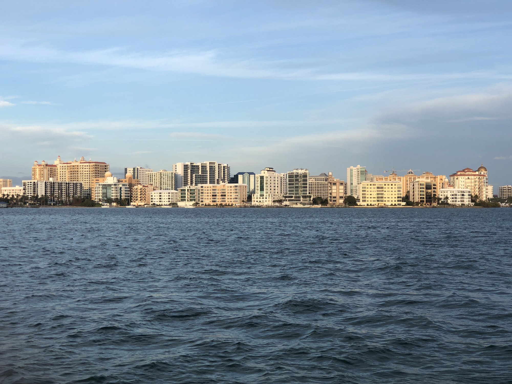
Finish
Sarasota
Finish in Sarasota when you want a coast trip that ends with bayfront time, a walkable finish, and enough city support for dinner or an overnight.
- Best finish: Sarasota as the scenic reward.
Deeper planning map
What this trip is for
A curated collection of Route41 Gulf Coast and waterfront highlights rather than a claim that the mainline is continuously coastal.
Best fit: scenic-road travelers, waterfront and downtown visitors, travelers combining Route41 with deliberate coastal detours.
Pacing posture: A multi-day thematic trip assembled from selected anchors; no fixed full-trip duration should be promised.
Phase 1
Wetland-to-Gulf opening
Miami → Big Cypress National Preserve → Naples
Open with contrast: Miami, the Tamiami Trail and Big Cypress, then Naples. The wetland crossing is the scenic experience; the mainline is not continuously coastal.
Phase 2
River and harbor middle
Fort Myers → Punta Gorda → Venice
Use Fort Myers and Punta Gorda for river-and-harbor texture, with Venice as an optional support choice rather than another required destination.
Phase 3
Cultural Coast and Tampa finish
Finish with the Sarasota-Manatee and Tampa decision. Waterfronts, beaches, and downtowns are deliberate destination layers off the through-driving job.
Anchors, backups, and changing conditions
Primary anchors
Miami · Naples · Fort Myers · Punta Gorda · Sarasota · Tampa
Backup anchors
Verify before travel
Check heat, thunderstorms, flooding, beach access, bridge traffic, and event conditions.
Practical route utility
Who this suits
Use this trip for travelers who care more about the shape of the road than about ticking off every coastal city. It is a better scenic day than a long checklist.
How to pace it
Leave Miami early, let the Tamiami Trail do the heavy lifting, and choose one Gulf Coast stop for the middle instead of forcing every town into the same day.
Practical stops
Plan fuel before the wetlands stretch, one food stop in Naples or Fort Myers, a short waterfront pause in Punta Gorda if you have time, and a final reset in Sarasota.
Make the itinerary fit the day
Protect the trip shape before adding more stops.
Best fit: scenic-road travelers, waterfront and downtown visitors, travelers combining Route41 with deliberate coastal detours.
Pacing posture: A multi-day thematic trip assembled from selected anchors; no fixed full-trip duration should be promised.
Keep these phases distinct
- Phase 1: Miami → Big Cypress National Preserve → Naples
- Phase 2: Fort Myers → Punta Gorda → Venice
- Phase 3: Sarasota → Bradenton → Tampa
Primary anchors
Miami · Naples · Fort Myers · Punta Gorda · Sarasota · Tampa
These are the places that define the trip. If the schedule compresses, protect them before secondary stops.
Backup posture
A backup should rescue the day when weather, energy, access, or timing changes - not become another obligation.
Conditions that can change the plan
Check heat, thunderstorms, flooding, beach access, bridge traffic, and event conditions.
Route layers to use with this trip
Segment context
Tamiami Trail and South Florida
Use the segment page when you want the wetlands-to-coast transition to stay central.
State frame
Florida
Use the state page when you want the broader south Florida chapter around the scenic trip.
Place chooser
Places
Use the place index when you want to compare Miami, Naples, Fort Myers, Punta Gorda, and Sarasota as the scenic chain.
Inventory
Trips
Return to the inventory when you want a Gulf Coast run, a weekend itinerary, or a north Florida corridor trip instead.
Take it offline
Print the trip companion.
The five-page companion keeps this trip's phases, primary anchors, backup posture, pacing choices, and changing-condition checks together on paper.
Open the free trip PDFMore printables
Need a different planning scale?
Use the full Route 41 printable library for state planners, driving-chapter sheets, whole-route workbooks, road tools, and centennial printables.