Route 41 at 100
US Route 41 at 100: From Naples to Copper Harbor—and Later Miami
US 41’s 2026 centennial belongs to a route designation, not every modern mile. The numbered route was included in the U.S. Numbered Highway System finally approved on November 11, 1926. Its original map-level story ran broadly from Naples, Florida, to Copper Harbor, Michigan.
That is not quite the same route a traveler sees today. Miami joined US 41 later, in 1949, adding a vital South Florida chapter to a road that already had a very long northbound story.
What turns 100
The designation
The anniversary marks US 41’s place in the original numbered system. It does not make every current alignment, bridge, bypass, pavement segment, or endpoint 100 years old.
The modern route
A changing corridor
Today’s Miami-to-Copper-Harbor road trip is a useful planning frame, but it is the result of route evolution rather than an unchanged 1926 roadway.
November 11, 1926: one numbered-system moment
The U.S. Numbered Highway System received final approval on November 11, 1926, and US 41 was included in that original system. The centennial is a reason to notice how a number can hold together a long travel story even as roads, city approaches, and endpoint definitions change around it.
At map level, the original route broadly connected Naples and Copper Harbor. That Naples-to-Copper-Harbor identity is the historical starting point; it is not a street-by-street promise about every present-day turn.
The Tamiami Trail has its own timeline
The Tamiami Trail makes the South Florida chapter feel older than a route number alone. The road was completed in 1928 as a Tampa-to-Miami road via Naples, after a long construction effort. But road-building history and US 41 designation history are related, not identical.
The Naples-to-Miami corridor carried US 94 before it became part of US 41. So it is useful to see the Trail as a road story that helps explain modern US 41, without saying that the whole Trail became US 41 when it opened.
How US 41 reached Miami
In June 1949, AASHO approved extending US 41 from Naples to Miami and abandoned US 94 between those cities. Miami is therefore a later US 41 endpoint—not the route’s original 1926 southern endpoint.
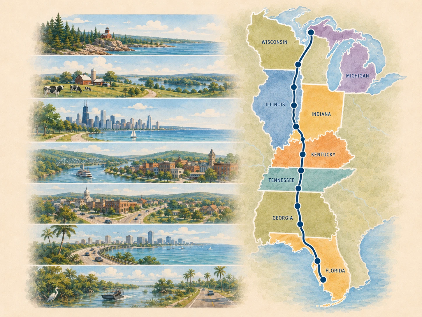
That clarification gives the modern south-to-north journey a better shape. Begin in Miami for the current South Florida opening, read Naples as the original southern anchor in the centennial story, and let the road change character as it moves through the Gulf Coast, cities and inland corridors, the Great Lakes, and the Upper Peninsula finish.
One route, many road-trip identities
US 41 does not ask every state or city to feel alike. South Florida and the Gulf Coast have a different rhythm from the inland city handoffs, Wisconsin lake country, and the final approach to Copper Harbor. That variation is part of the route’s appeal—and one reason a century of route evolution is more interesting than a claim of perfect continuity.
Modern south
Miami and the Tamiami Trail
Use the modern southern opening as a planning chapter while keeping its later US 41 designation distinct from the original endpoint story.
Whole corridor
Gulf Coast to lake country
Let the guide connect distinct regional chapters without pretending the road has stayed physically or historically unchanged.
Northern finish
Copper Harbor
See the remote Upper Peninsula finish as the northern endpoint story for the original broad 1926 corridor.
Take the next step
For the full historical explanation—including the original Naples-to-Copper-Harbor frame, the Tamiami Trail distinction, and the 1949 extension—open the canonical US Route 41 centennial guide. Then use the Route 41 route overview to turn the modern corridor into a trip.
US 41 also shares its original numbered-system moment with US 17 and US 20. For that deliberately bounded network context, visit Roads of 1926; Route41RoadTrip remains the detailed guide for US 41 history and planning.
Accuracy and source note
This editorial companion uses the November 11, 1926 final-approval date for the U.S. Numbered Highway System, the original system map’s broad US 41 corridor, the 1949 AASHO action that extended US 41 from Naples to Miami and abandoned US 94 there, and National Park Service history of the Tamiami Trail. For the detailed Route 41 historical record, use the canonical centennial guide.
A story that lasts beyond the anniversary
The centennial gives the route a date to gather around, but the useful story endures after 2026: Naples and Miami have different historical roles, the Tamiami Trail has its own road history, and the present route is a changing American corridor rather than a frozen one.