Keweenaw · Fall road trip
Copper Harbor and the Keweenaw: a Route 41 fall-color drive
Follow the main US 41 corridor north through historic Copper Country, but let local reports and daylight decide the day's detours. A good Keweenaw fall drive is built around a Houghton–Hancock base, a few deliberate stops, and a safe plan for returning from the Copper Harbor area.
2026 color check · Observed October 8
Color is already strong, but each Keweenaw area is different
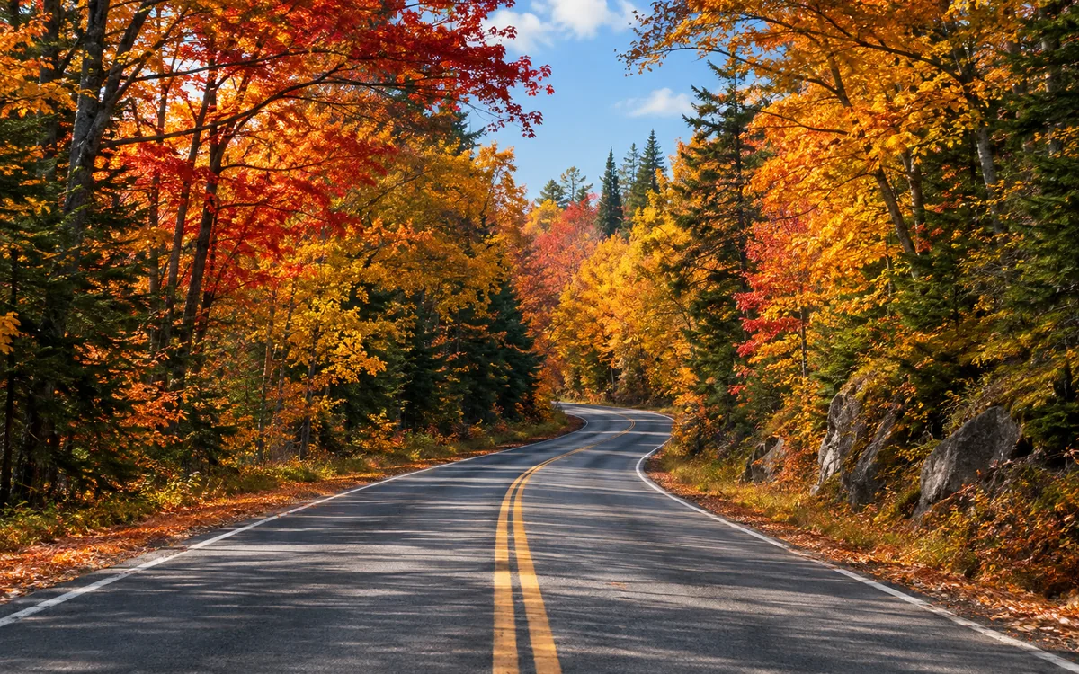
In Visit Keweenaw's dated local reports, the October 7 report rated Twin Lakes and the eastern Keweenaw at peak, while Copper Harbor and the northern area were near peak. Its October 6 central-US-41-area report showed peak color in the higher central peninsula, with some leaf drop. These are observations from October 6–7, 2026, not a forecast or a promise about conditions when you arrive.
Before departure: open the live report, compare your actual travel dates, and check road conditions. A past report should never be treated as today's color status.
A manageable US 41 fall-color sequence
1 · Start and reset
Houghton and Hancock
Plan fuel, food, lodging, and your return while services are concentrated around these paired towns. The Portage Canal and hillsides can give you a first sense of seasonal color without forcing an immediate remote detour.
2 · History and a slower stop
Calumet and the Copper Country towns
Use Calumet as a walk-and-reset candidate on the broader northbound US 41 journey. Historic architecture and local heritage give the day value even if clouds or shifting colors change the photography plan. Verify hours for any museum, tour, or indoor stop.
3 · Forested main-road drive
US 41 toward the northern Keweenaw
Continue on the signed US 41 corridor through the northern peninsula toward Copper Harbor, rather than silently substituting M-26. The wooded roadway has a reputation for seasonal color, but drive to posted conditions and use only safe designated pull-offs.
4 · Intentional finish
Copper Harbor area
Save time for the village, shoreline, or a separate scenic excursion without claiming the highway ends at a particular downtown attraction. Decide where to spend the night and where the first southbound reset will be before daylight runs low.
Add one optional detour, not every overlook
If weather, daylight, and current access cooperate, consider one of these additions. Neither is the US 41 mainline:
- M-26 shoreline alternative: Its Eagle River, Eagle Harbor, and Lake Superior shoreline sequence is a distinct road choice off US 41. Use it only when you have the time to navigate back to your chosen base or finish.
- Brockway Mountain Drive: A separate scenic climb near Copper Harbor, accessed from M-26, with overlooks above the lake and peninsula. Visit Keweenaw notes that pavement can be rough, with blind corners and limited shoulders. Check conditions; it is not an all-weather or guaranteed-open shortcut.
The National Park Service’s full-day foliage ideas distinguish US 41, local side roads, and Brockway Mountain Drive. Choose your own return based on posted roads and current conditions rather than following a fixed online loop without checking.
One day or two nights?
One day, already staying near Houghton–Hancock: Leave after checking color and weather; stop in Calumet if it fits, enjoy the signed US 41 drive north, and return while visibility and daylight are comfortable. Skip long detours if you start late.
Two nights, arriving from outside the peninsula: Arrive and sleep in or near the Houghton–Hancock service area; reserve the middle day for the northbound Keweenaw and a single optional scenic road; depart on the third morning. If weather turns, swap a lookout for a historic town visit. This is a pacing suggestion, not a promise of a particular driving duration.
Longer journey from Wisconsin or Illinois: First use the existing Chicago-to-Copper Harbor Route 41 trip for the city-to-UP overnight sequence. This article begins where the Keweenaw-focused decisions get interesting; it does not replace that multi-state itinerary.
Practical details before leaving
- Read the live foliage report, not merely the October 2026 observations above: Visit Keweenaw’s updates.
- Check travel alerts and weather: Michigan road and travel information and National Weather Service forecasts. Local conditions change; verify notices before the final approach.
- Confirm access and hours: Historic attractions, visitor centers, lodging, seasonal roads, and tours may operate on changing schedules.
- Protect daylight: Photograph only from safe legal stopping places; do not pull onto narrow shoulders, obstruct the road, or rely on driving an unfamiliar scenic road after dark.
- Plan the return: Copper Harbor is a northern terminus-area destination, not a license to assume there are ample late-night services or a continuous road beyond the highway’s signed finish.
Keep exploring Route 41
Read the Copper Harbor place guide for endpoint and return-planning nuance, the Upper Peninsula road chapter for driving context, and the fall-colors chapter selector if you’re still deciding between Michigan, Wisconsin, and Tennessee.
Reporting sources reviewed October 8, 2026: Visit Keweenaw local foliage reports (observations October 6–7), NPS fall-foliage guide, and Brockway Mountain Drive access guidance. This is a dated editorial snapshot, not a live conditions feed.